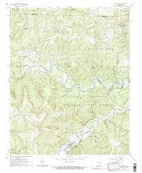
1967 Map of Jasper
USGS Topo · Published 1975About this map
Jasper sits along the Little Buffalo River in a landscape defined by deep valleys and high points like Sherman Mountain. This mid-century survey captures Newton County during a period of transition, noting the boundary for the Ozark National Forest and the Buffalo River Boundary. The map provides significant genealogical value through its identification of small family and community burial grounds, including the Adair, Cherry Grove, and Tom Thumb cemeteries. North of the river, the landscape includes the notable Dogpatch (Marble Falls) Spring and Mystic Cave, alongside small settlements like Erbie and Pruitt. Numerous hollows such as Sawmill and Stringtown branch off from the main river corridors, illustrating the historical settlement patterns typical of the Ozark interior.
Find a feature on this map
67 named features on this map. Tap any name to fly to it.
Don’t see what you’re looking for? This feature index may not catch every label — zoom into the map to look around manually.
Map Details
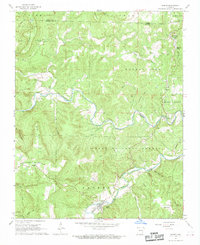
Editions of this 1967 Jasper Map
2 editions found
Other maps of this area

1904 · Harrison
USGS Topo · 1:125,000

1905 · Harrison
USGS Topo · 1:125,000

1933 · Mt Judea
USGS Topo · 1:62,500

1940 · Mt Judea
USGS Topo · 1:62,500

1945 · Harrison
USGS Topo · 1:250,000

1949 · Harrison
USGS Topo · 1:250,000

1954 · Harrison
USGS Topo · 1:250,000

1956 · Russellville
USGS Topo · 1:250,000

1958 · Harrison
USGS Topo · 1:250,000

1964 · Russellville
USGS Topo · 1:250,000