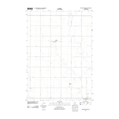
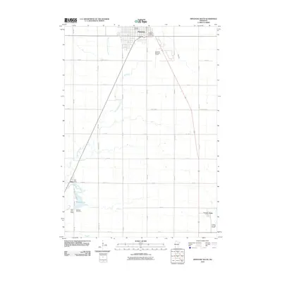
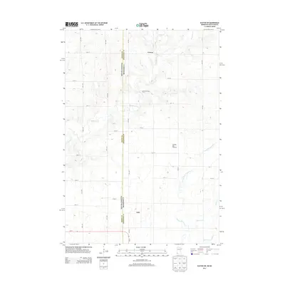
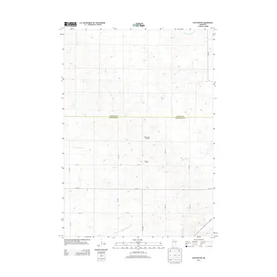
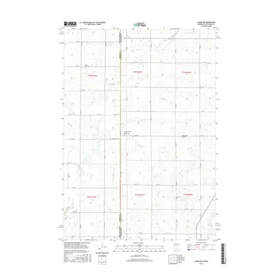
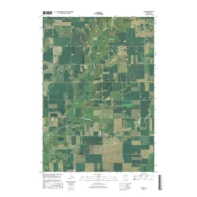
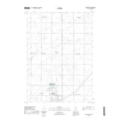
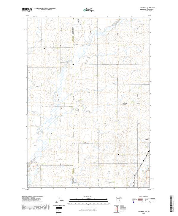
1967 Map of Jasper NW
USGS Topo · Published 1980About this map
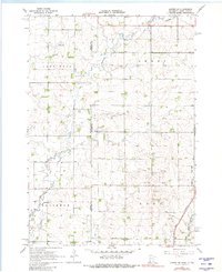
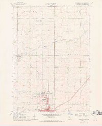
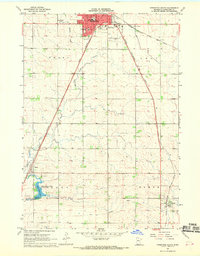
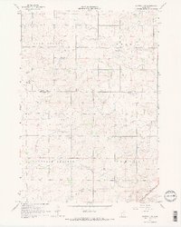
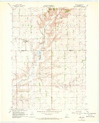
Pipestone Creek and Split Rock Creek wind through the prairie landscape along the border of Moody and Pipestone counties, marking a terrain defined by agricultural townships and rural infrastructure in the mid-1960s. The land is organized into distinct townships including Lone Rock, Sweet, Alliance, and Eden, each showing the dispersed farmstead pattern typical of the region. Local community life is anchored by landmarks like Salem Ch, Lone Rock Ch, and the Townhall in Sweet Township, while Eden Cem serves as a genealogical touchstone for the area. Economic activity is evidenced by numerous Gravel Pits concentrated in the southern sections, and the presence of a Radio Tower (KSOO-TV) reflects the era's expanding telecommunications reach across the South Dakota and Minnesota state line.
Find a feature on this map
15 named features on this map. Tap any name to fly to it.
Don’t see what you’re looking for? This feature index may not catch every label — zoom into the map to look around manually.
Map Details
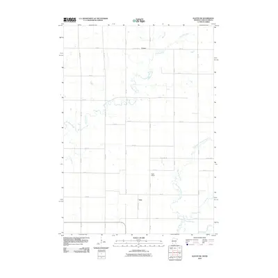
Editions of this 1967 Jasper NW Map
2 editions found
Historical Maps of Ihlen Through Time
42 maps found
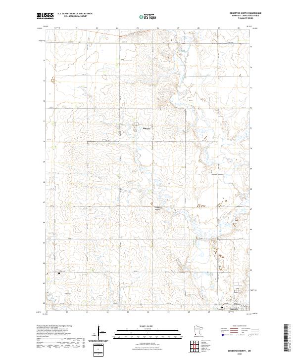
1967 Edgerton North
Pipestone County, MN
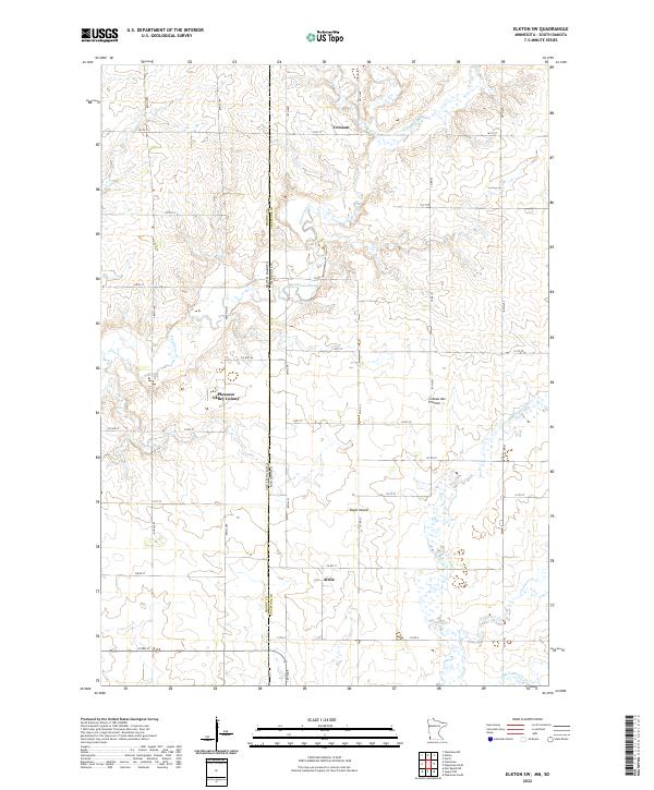
1967 Elkton SW
Pipestone County, MN
1967 Jasper NW
Pipestone County, MN
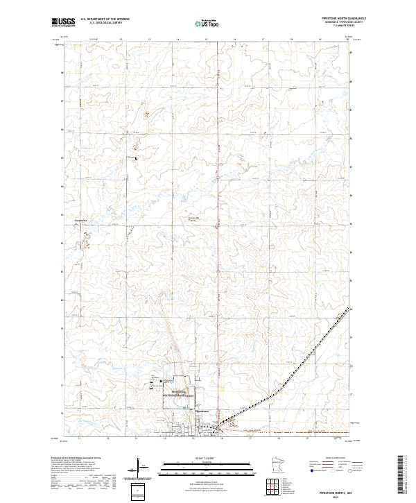
1967 Pipestone North
Pipestone County, MN
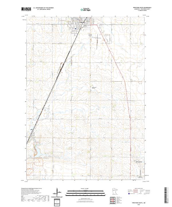
1967 Pipestone South
Pipestone County, MN
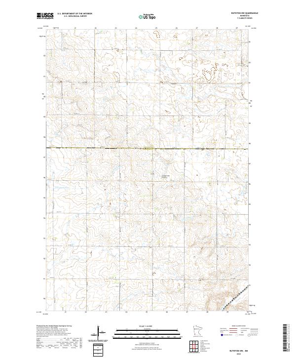
1967 Ruthton NW
Pipestone County, MN
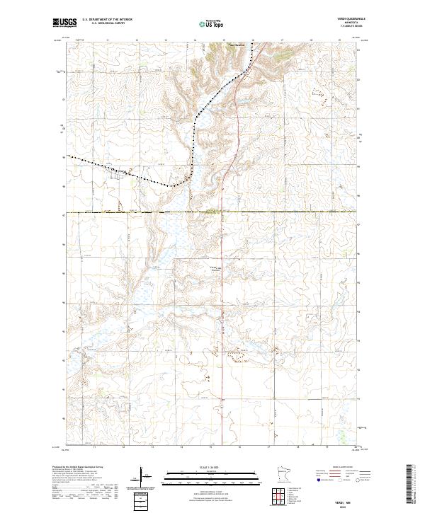
1967 Verdi
Pipestone County, MN
2010 Edgerton North
Pipestone County, MN
2010 Elkton SW
Pipestone County, MN
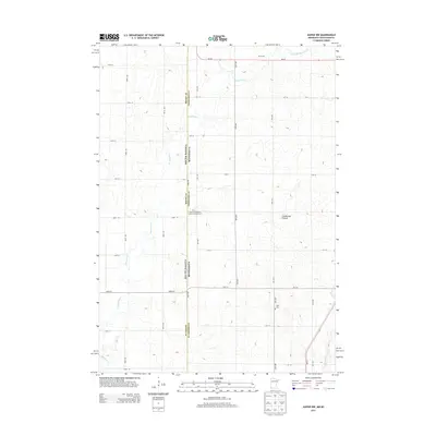
2010 Jasper NW
Pipestone County, MN
2010 Pipestone North
Pipestone County, MN
2010 Pipestone South
Pipestone County, MN
2010 Ruthton NW
Pipestone County, MN
2010 Verdi
Pipestone County, MN
2013 Edgerton North
Pipestone County, MN
2013 Elkton SW
Pipestone County, MN
2013 Jasper NW
Pipestone County, MN
2013 Pipestone North
Pipestone County, MN
2013 Pipestone South
Pipestone County, MN
2013 Ruthton NW
Pipestone County, MN
2013 Verdi
Pipestone County, MN
2016 Edgerton North
Pipestone County, MN
2016 Elkton SW
Pipestone County, MN
2016 Jasper NW
Pipestone County, MN
2016 Pipestone North
Pipestone County, MN
2016 Pipestone South
Pipestone County, MN
2016 Ruthton NW
Pipestone County, MN
2016 Verdi
Pipestone County, MN
2019 Edgerton North
Pipestone County, MN
2019 Elkton SW
Pipestone County, MN
2019 Jasper NW
Pipestone County, MN
2019 Pipestone North
Pipestone County, MN
2019 Pipestone South
Pipestone County, MN
2019 Ruthton NW
Pipestone County, MN
2019 Verdi
Pipestone County, MN
2022 Edgerton North
Pipestone County, MN
2022 Elkton SW
Pipestone County, MN
2022 Jasper NW
Pipestone County, MN
2022 Pipestone North
Pipestone County, MN
2022 Pipestone South
Pipestone County, MN
2022 Ruthton NW
Pipestone County, MN
2022 Verdi
Pipestone County, MN