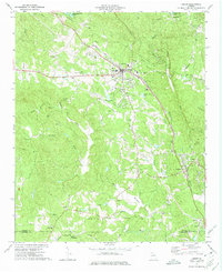
1973 Map of Jasper
USGS Topo · Published 1975About this map
The Louisville and Nashville railroad tracks anchor the landscape of northern Georgia, cutting through the corridor between Jasper and Tate during the early 1970s. This survey illustrates a region defined by its industrial resources and rural infrastructure, where numerous Quarries and a dedicated Filtration Plant indicate the importance of local stone and water management. The terrain is marked by significant elevations like Sharp Mountain and the water systems of Sharp Mountain Creek and Long Swamp Creek, which dictate the placement of early settlements and agricultural holdings.
Find a feature on this map
51 named features on this map. Tap any name to fly to it.
Don’t see what you’re looking for? This feature index may not catch every label — zoom into the map to look around manually.
Map Details
Editions of this 1973 Jasper Map
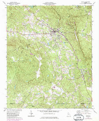
2 editions found
Other maps of this area

1886 · Dalton
USGS Topo · 1:125,000

1888 · Ellijay
USGS Topo · 1:125,000

1890 · Suwanee
USGS Topo · 1:125,000

1890 · Cartersville
USGS Topo · 1:125,000

1891 · Cartersville
USGS Topo · 1:125,000

1892 · Ellijay
USGS Topo · 1:125,000

1892 · Dalton
USGS Topo · 1:125,000

1894 · Suwanee
USGS Topo · 1:125,000

1896 · Cartersville
USGS Topo · 1:125,000

1897 · Dalton
USGS Topo · 1:125,000