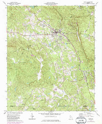
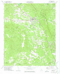
1973 Map of Jasper
USGS Topo · Published 1986About this map
Jasper serves as the focal point of this North Georgia survey, situated along the Seaboard Coast Line where the Piedmont begins to give way to the Blue Ridge foothills. The landscape is defined by the prominent Sharp Mountain and the deep incisions of Long Swamp Creek and Sharp Mountain Creek. This era of the early 1970s, with later revisions, shows the community's evolution with the Vocational Technical Sch and County High Sch near the town center, alongside essential infrastructure like the Filtration Plant and Hospital.
Find a feature on this map
43 named features on this map. Tap any name to fly to it.
Don’t see what you’re looking for? This feature index may not catch every label — zoom into the map to look around manually.
Map Details
Editions of this 1973 Jasper Map
2 editions found
Other maps of this area

1886 · Dalton
USGS Topo · 1:125,000

1888 · Ellijay
USGS Topo · 1:125,000

1890 · Suwanee
USGS Topo · 1:125,000

1890 · Cartersville
USGS Topo · 1:125,000

1891 · Cartersville
USGS Topo · 1:125,000

1892 · Ellijay
USGS Topo · 1:125,000

1892 · Dalton
USGS Topo · 1:125,000

1894 · Suwanee
USGS Topo · 1:125,000

1896 · Cartersville
USGS Topo · 1:125,000

1897 · Dalton
USGS Topo · 1:125,000