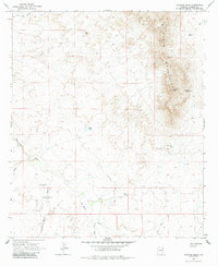
1966 Map of Javelina Peak
USGS Topo · Published 1985About this map
The Whitlock Mountains dominate the eastern landscape of this Graham County region, rising sharply above the desert floor to the prominent Javelina Peak. Evidence of earlier inhabitants is marked by a Cliff Dwelling tucked into the mountain slopes, while the lower elevations are defined by the broad expanse of Starvation Flat. Water management in this arid environment is the primary indicator of land use, with a network of isolated sources like Dripping Spring, KMP Tank, and Seely Tank scattered across the terrain.
Find a feature on this map
17 named features on this map. Tap any name to fly to it.
Don’t see what you’re looking for? This feature index may not catch every label — zoom into the map to look around manually.
Map Details
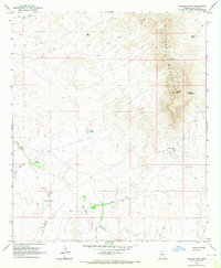
Editions of this 1966 Javelina Peak Map
2 editions found
Other maps of this area

1917 · San Simon
USGS Topo · 1:125,000

1922 · Willcox
USGS Topo · 1:125,000

1928 · Bowie
USGS Topo · 1:62,500

1944 · Fisher Hills
USGS Topo · 1:62,500

1949 · Bowie
USGS Topo · 1:62,500

1950 · Bowie
USGS Topo · 1:62,500

1954 · Silver City
USGS Topo · 1:250,000

1957 · Luzena
USGS Topo · 1:62,500

1958 · Silver City
USGS Topo · 1:250,000

1962 · Silver City
USGS Topo · 1:250,000