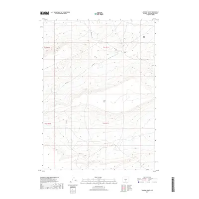
2017 Map of Jawbone Ranch
USGS Topo · Published 2017About this map
Jawbone Ranch serves as the central landmark of this high-altitude landscape in Sweetwater County, where the high desert terrain is defined by dramatic elevation changes. The land is marked by significant topographical features such as Windy Hill and the seasonal drainage of Buck Draw, reflecting the arid and open nature of this part of southern Wyoming. Human presence is light and primarily indicated by the primitive network of Bureau of Land Management roads, including Blm Rd 3203 and Blm Rd 3218, which navigate the various township and range boundaries. This survey provides a precise view of the ranching and public land management patterns that have shaped the region's modern history.
Find a feature on this map
9 named features on this map. Tap any name to fly to it.
Don’t see what you’re looking for? This feature index may not catch every label — zoom into the map to look around manually.
Map Details
Editions of this 2017 Jawbone Ranch Map
This is the sole edition of this map. No revisions or reprints were ever made.
Other maps of this area

1954 · Rawlins
USGS Topo · 1:250,000

1958 · Rawlins
USGS Topo · 1:250,000

1960 · Hansen Lake NE
USGS Topo · 1:24,000

1960 · Larsen Knoll
USGS Topo · 1:24,000

1960 · Buck Draw
USGS Topo · 1:24,000

1962 · Rawlins
USGS Topo · 1:250,000

1966 · Jawbone Ranch
USGS Topo · 1:24,000

1966 · Creston Junction
USGS Topo · 1:24,000

1966 · Riner
USGS Topo · 1:24,000

1966 · Creston
USGS Topo · 1:24,000