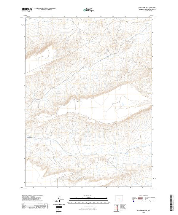
2021 Map of Jawbone Ranch
USGS Topo · Published 2021About this map
Jawbone Ranch sits within a landscape defined by seasonal drainages and high desert relief in this 2021 topographic survey. Located in the northern reaches of Sweetwater County, the terrain is shaped by Buck Draw and the broad depressions of Creston Draw, which channel the limited hydrology of the region. The map reveals a highly structured public land system, crisscrossed by Bureau of Land Management routes including BLM Rd 3203 and BLM Rd 3218. The high point of Windy Hill provides a central reference in a territory primarily organized by the Public Land Survey System grids of T22N and T21N. This modern record details the intersection of ranching infrastructure and government land management, where remote access roads connect isolated landmarks across the Great Divide Basin area.
Find a feature on this map
10 named features on this map. Tap any name to fly to it.
Don’t see what you’re looking for? This feature index may not catch every label — zoom into the map to look around manually.
Map Details
Editions of this 2021 Jawbone Ranch Map
This is the sole edition of this map. No revisions or reprints were ever made.
Other maps of this area

1954 · Rawlins
USGS Topo · 1:250,000

1958 · Rawlins
USGS Topo · 1:250,000

1960 · Hansen Lake NE
USGS Topo · 1:24,000

1960 · Larsen Knoll
USGS Topo · 1:24,000

1960 · Buck Draw
USGS Topo · 1:24,000

1962 · Rawlins
USGS Topo · 1:250,000

1966 · Jawbone Ranch
USGS Topo · 1:24,000

1966 · Creston Junction
USGS Topo · 1:24,000

1966 · Riner
USGS Topo · 1:24,000

1966 · Creston
USGS Topo · 1:24,000