Loading...
Loading map...1971 Map of Jay
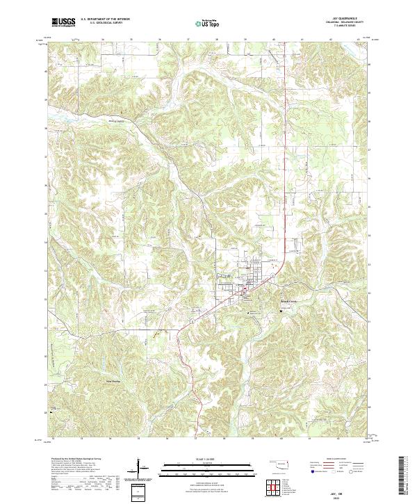
USGS Topo · Published 1977About this map
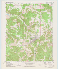
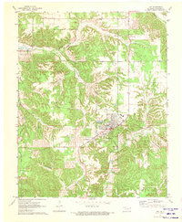
The Delaware County seat of Jay serves as the central hub of this 1970s survey, showing a landscape defined by sharp creek drainages and agricultural clearings. To the northwest, the map captures the finger-like reach of Lake O' the Cherokees, where Drowning Creek meets the reservoir. The town itself is established on higher ground, surrounded by a network of rural features like Duffield Memorial Cem and the Lookout Tower standing sentinel over the nearby hills.
Find a feature on this map
23 named features on this map. Tap any name to fly to it.
Don’t see what you’re looking for? This feature index may not catch every label — zoom into the map to look around manually.
Map Details
Date Portrayed1971
Date Published1977
PublisherU.S. Geological Survey
Map TypeTopographic
Scale1:24,000
Physical Dimensions22.9 x 27.3 inches
Editions of this 1971 Jay Map
2 editions found
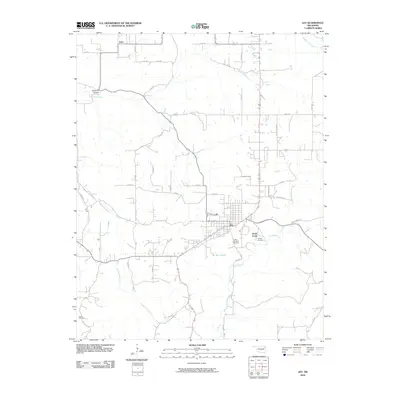
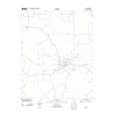
Historical Maps of Jay Through Time
6 maps found
Featured Locations
Source Details
SourceU.S. Geological Survey
CopyrightPublic Domain