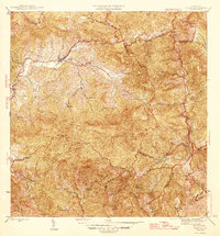
1946 Map of Jayuya
USGS Topo · Published 1946About this map
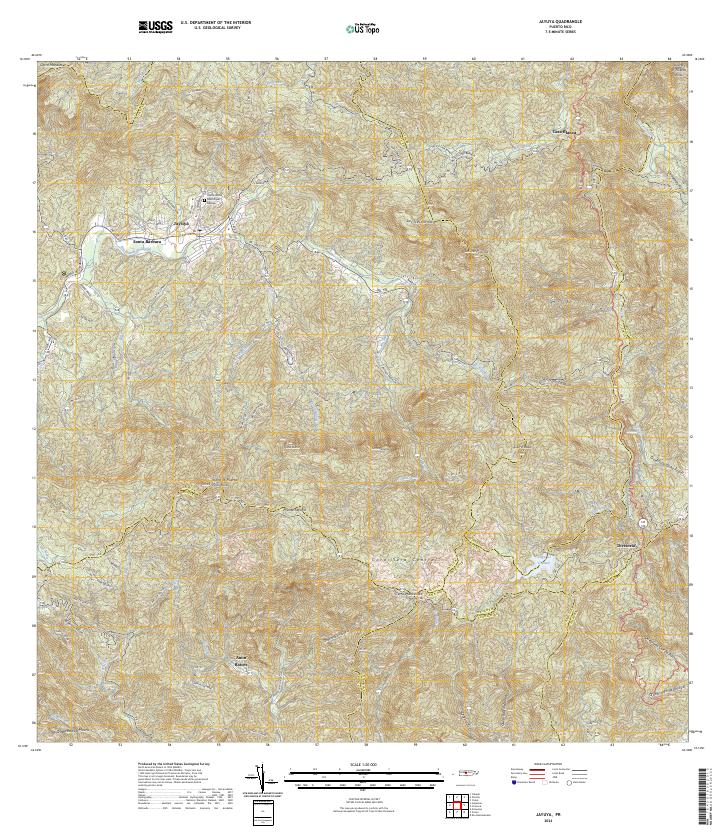
The town of Jayuya serves as the central hub of this mid-century survey, situated at the confluence of the Rio Grande de Jayuya and the Rio Jayuya. This interior mountainous region is defined by a dense network of traditional agricultural estates, including Hacienda Gripina, Hacienda La Marina, and Hacienda Santa Rosa, which illustrate the island's coffee and sugar-producing heritage. The industrial presence of Central Santa Barbara reflects the economic activity of the era, while the topography rises dramatically toward Cerro de Punta, the highest peak in Puerto Rico.
Find a feature on this map
46 named features on this map. Tap any name to fly to it.
Don’t see what you’re looking for? This feature index may not catch every label — zoom into the map to look around manually.
Map Details
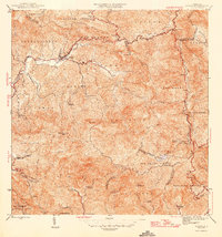
Editions of this 1946 Jayuya Map
3 editions found

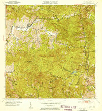
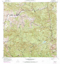
Historical Maps of Jayuya Through Time
6 maps found
Featured Locations
- Salientito, Jayuya
- Sector El Carajo, Jayuya
- Sector Estancias del Indio, Jayuya
- Jayuya, Jayuya
- Villa Canonal, Jayuya