Loading...
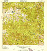
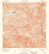
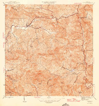
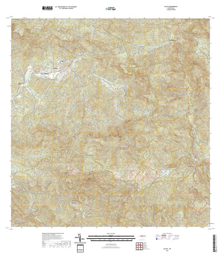
Loading map...1952 Map of Jayuya
USGS Topo · Published 1953About this map
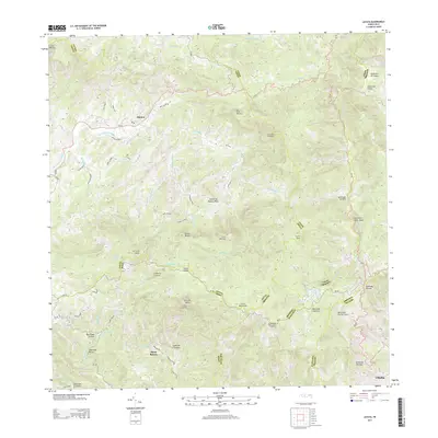
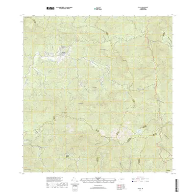
The high peaks of the Cordillera Central dominate this mid-century portrait of the island's interior, anchored by the town of Jayuya and the towering heights of Cerro de Punta. The landscape is defined by its deep agricultural heritage, marked by numerous named estates such as Hacienda Santa Barbara, Hacienda Gripina, and Hacienda El Semil. These haciendas represent the economic centers of the era, scattered across barrios like Veguitas and Mameyes Arriba.
Find a feature on this map
70 named features on this map. Tap any name to fly to it.
Don’t see what you’re looking for? This feature index may not catch every label — zoom into the map to look around manually.
Map Details
Date Portrayed1952
Date Published1953
PublisherU.S. Geological Survey
Map TypeTopographic
Scale1:30,000
Physical Dimensions19.8 x 21.6 inches
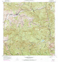
Editions of this 1952 Jayuya Map
2 editions found
Historical Maps of Jayuya Through Time
6 maps found
Featured Locations
- Salientito, Jayuya
- Sector El Carajo, Jayuya
- Sector Estancias del Indio, Jayuya
- Jayuya, Jayuya
- Villa Canonal, Jayuya
Source Details
SourceU.S. Geological Survey
CopyrightPublic Domain