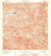
1952 Map of Jayuya
USGS Topo · Published 1953About this map
The interior Cordillera Central dominates this mid-century landscape, centered on the town of Jayuya and its surrounding agricultural estates. The map documents an era of established coffee and sugar culture, evidenced by the numerous named haciendas such as Hacienda Gripiña, Hacienda Santa Barbara, and Hacienda El Semil that dot the mountain valleys. This region contains the highest elevations in Puerto Rico, including the peak of Cerro de Punta and the nearby Cerro Maravillas.
Find a feature on this map
77 named features on this map. Tap any name to fly to it.
Don’t see what you’re looking for? This feature index may not catch every label — zoom into the map to look around manually.
Map Details
Editions of this 1952 Jayuya Map
2 editions found
Other maps of this area

1945 · Ponce
USGS Topo · 1:30,000

1945 · Rio Descalabrado
USGS Topo · 1:30,000

1946 · Utuado
USGS Topo · 1:30,000

1946 · Ciales
USGS Topo · 1:30,000

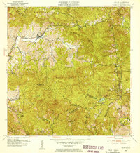
1946 · Jayuya
USGS Topo · 1:30,000

1946 · Florida
USGS Topo · 1:30,000

1946 · Orocovis
USGS Topo · 1:30,000

1946 · Penuelas
USGS Topo · 1:30,000

1946 · Adjuntas
USGS Topo · 1:30,000

1947 · Ponce NE
USGS Topo · 1:10,000
Featured Places
- Jayuya
- Sector Estancias del Indio, Jayuya
- Salientito, Jayuya
- Sector El Carajo, Jayuya
- Villa Canonal, Jayuya