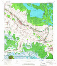
1963 Map of Jeanerette
USGS Topo · Published 1967About this map
Bayou Teche defines the social and industrial spine of this landscape, its banks lined with the primary settlements of Jeanerette and Baldwin. The mid-century sugar economy and river-based heritage are visible in the many named holdings such as Kilgore Plantation and Bodin Plantation. These agricultural stretches are punctuated by small community anchors like St Peters Ch and Frances Boley Sch, alongside several family and church cemeteries like Bayside Cem and Mt Carmel Ch Cem.
Find a feature on this map
114 named features on this map. Tap any name to fly to it.
Don’t see what you’re looking for? This feature index may not catch every label — zoom into the map to look around manually.
Map Details
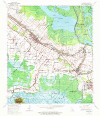
Editions of this 1963 Jeanerette Map
2 editions found
Other maps of this area

1935 · Chicot Lake
USGS Topo · 1:62,500

1937 · Bayou Sale
USGS Topo · 1:62,500

1937 · Jeanerette
USGS Topo · 1:62,500

1937 · Derouen
USGS Topo · 1:62,500

1939 · St. Martinsville
USGS Topo · 1:62,500

1941 · Loreauville
USGS Topo · 1:62,500

1941 · Belle Isle
USGS Topo · 1:62,500

1945 · New Orleans
USGS Topo · 1:250,000

1948 · Foster
USGS Topo · 1:62,500

1949 · Cypremort Pt
USGS Topo · 1:31,680