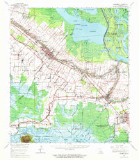
1963 Map of Jeanerette
USGS Topo · Published 1971About this map
Bayou Teche defines the economic and social spine of this Iberia Parish landscape, where the Southern Pacific and Missouri Pacific railroads parallel the water through the center of Jeanerette. This mid-century survey reveals a transition from traditional agriculture to industrial extraction, as large landholdings like Kilgore Plantation and Bodin Plantation sit adjacent to the expanding Jeanerette Oil and Gas Field. To the northeast, the massive Lake Fausse Pointe and the Atchafalaya Basin Floodway illustrate the complex water management systems of the era, including the Charenton Drainage Canal and the Gulf Intracoastal Waterway in the south. Local history is anchored by numerous spiritual and educational sites, from the Willow Street High Sch to several family-named cemeteries and a localized Gold Mine near Ashton.
Find a feature on this map
105 named features on this map. Tap any name to fly to it.
Don’t see what you’re looking for? This feature index may not catch every label — zoom into the map to look around manually.
Map Details
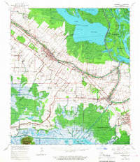
Editions of this 1963 Jeanerette Map
2 editions found
Other maps of this area

1935 · Chicot Lake
USGS Topo · 1:62,500

1937 · Bayou Sale
USGS Topo · 1:62,500

1937 · Jeanerette
USGS Topo · 1:62,500

1937 · Derouen
USGS Topo · 1:62,500

1939 · St. Martinsville
USGS Topo · 1:62,500

1941 · Loreauville
USGS Topo · 1:62,500

1941 · Belle Isle
USGS Topo · 1:62,500

1945 · New Orleans
USGS Topo · 1:250,000

1948 · Foster
USGS Topo · 1:62,500

1949 · Cypremort Pt
USGS Topo · 1:31,680