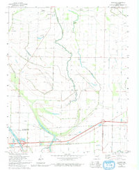
1981 Map of Jeanette
USGS Topo · Published 1993About this map
Blackfish Bayou and its winding oxbow lakes dominate this landscape in the eastern Arkansas delta, reflecting a history of drainage and alluvial farming. The area near Jeanette and Shearerville is defined by a dense network of drainage ditches that crisscross the low-lying terrain between Blackfish Lake and Alligator Bayou. Historically significant routes like the Old Military Road pass through the southern portion of the map, while the Missouri Pacific railroad cuts across the northeast corner near Lansing. Local genealogy is well-preserved through numerous rural landmarks, including Wallace Chapel, Mt Pilgrim Ch, and Medley Cem. Small aviation sites such as the McNeeley Landing Strip highlight the agricultural aviation common to this region's cotton and soybean fields.
Find a feature on this map
38 named features on this map. Tap any name to fly to it.
Don’t see what you’re looking for? This feature index may not catch every label — zoom into the map to look around manually.
Map Details
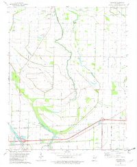
Editions of this 1981 Jeanette Map
2 editions found
Other maps of this area

1939 · Edmondson
USGS Topo · 1:62,500

1940 · Deckerville
USGS Topo · 1:62,500

1940 · Princedale
USGS Topo · 1:62,500

1940 · Whitmore
USGS Topo · 1:62,500

1953 · Memphis
USGS Topo · 1:250,000

1954 · Edmondson
USGS Topo · 1:62,500

1956 · Memphis
USGS Topo · 1:250,000

1956 · Whitmore
USGS Topo · 1:62,500

1956 · Princedale
USGS Topo · 1:62,500

1957 · Deckerville
USGS Topo · 1:62,500