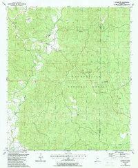
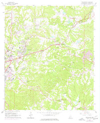
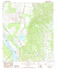
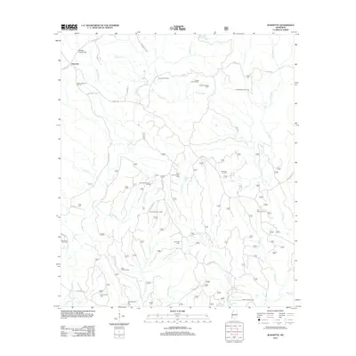
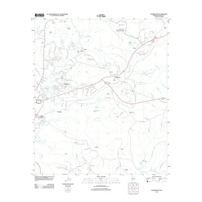
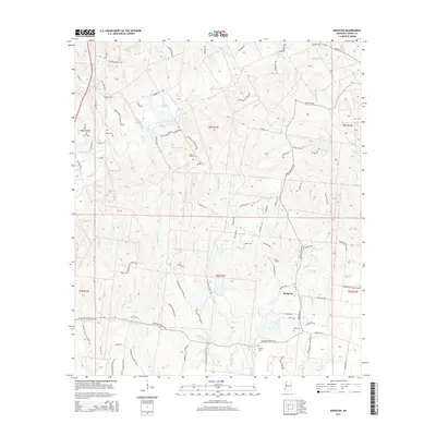
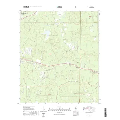
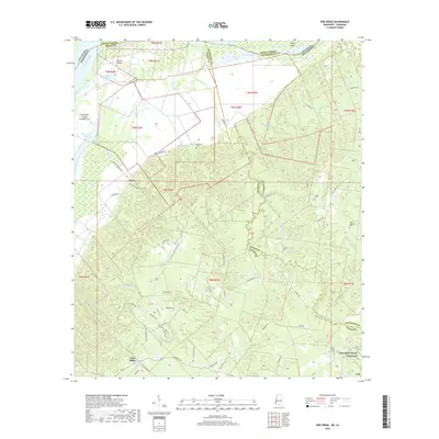
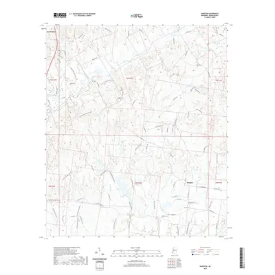
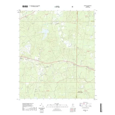
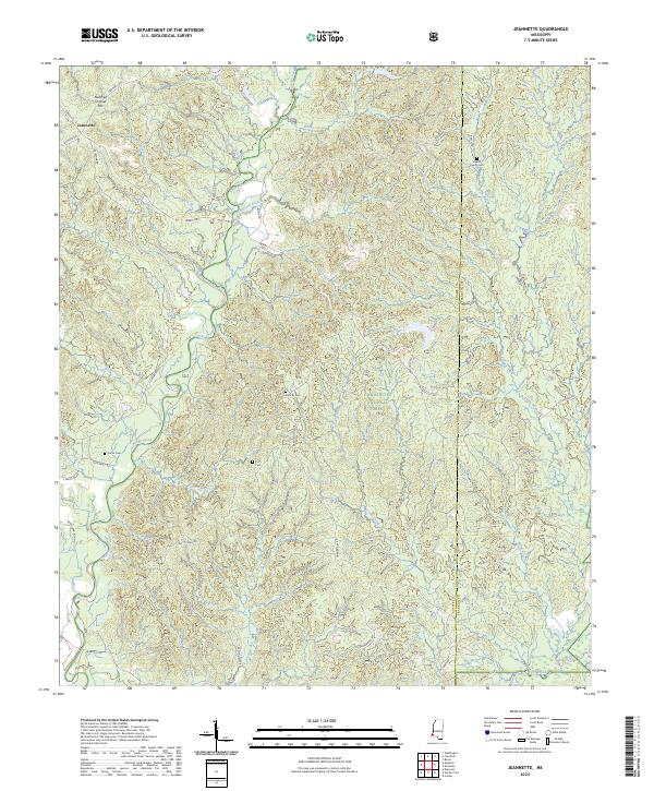
1988 Map of Jeannette
USGS Topo · Published 1988About this map
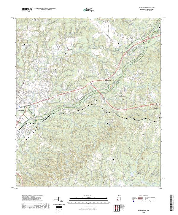
The Homochitto National Forest dominates this section of the Adams and Franklin County border, where a complex network of bayous and creeks defines the drainage of the Mississippi piney woods. Near the small settlement of Jeannette, the landscape is marked by active resource extraction, evidenced by the Whites Creek Oil Field, Locust Hill Oil Field, and numerous scattered Oil Wells.
Find a feature on this map
31 named features on this map. Tap any name to fly to it.
Don’t see what you’re looking for? This feature index may not catch every label — zoom into the map to look around manually.
Map Details
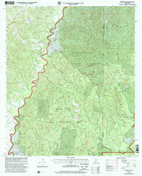
Editions of this 1988 Jeannette Map
This is the sole edition of this map. No revisions or reprints were ever made.
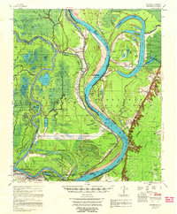
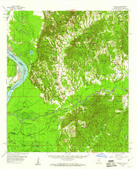
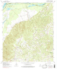
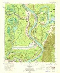
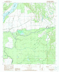
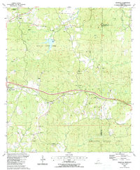
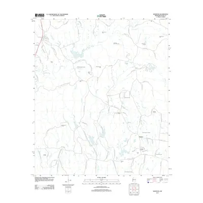
Historical Maps of Jeannette Through Time
46 maps found
1958 Artonish
Adams County, MS
1958 Kingston
Adams County, MS
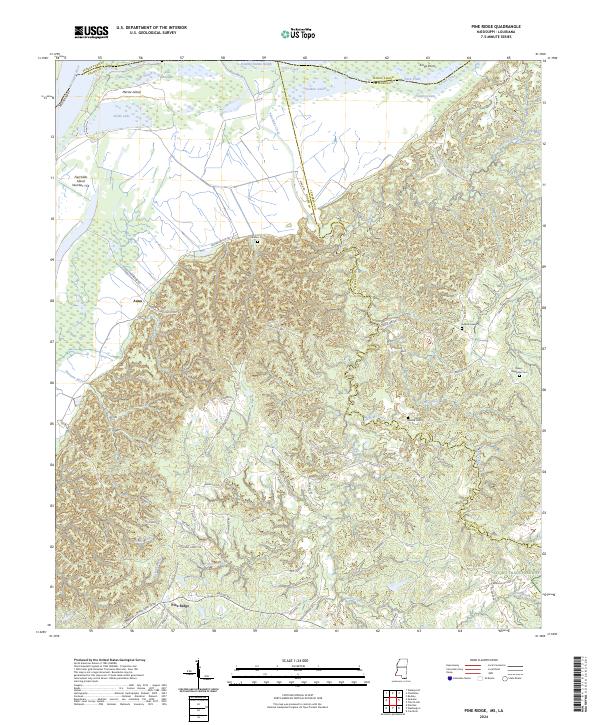
1963 Pine Ridge
Adams County, MS
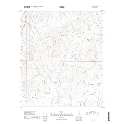
1963 Washington
Adams County, MS
1967 Artonish
Adams County, MS
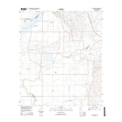
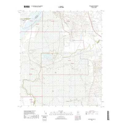
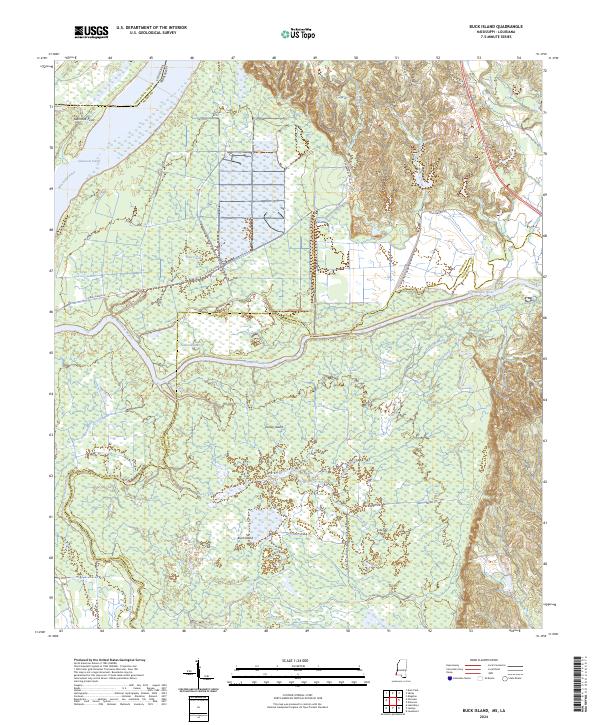
1988 Buck Island
Adams County, MS
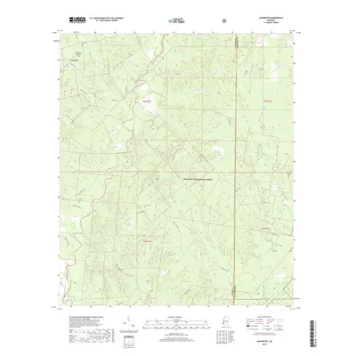
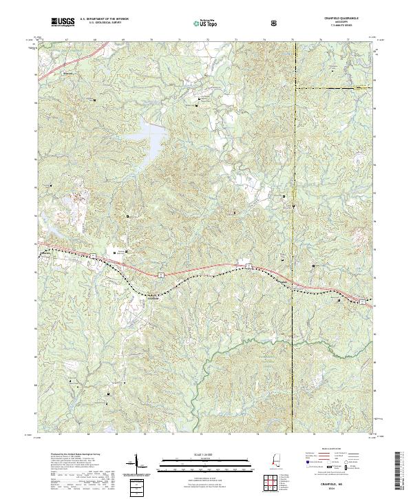
1988 Cranfield
Adams County, MS
1988 Jeannette
Adams County, MS

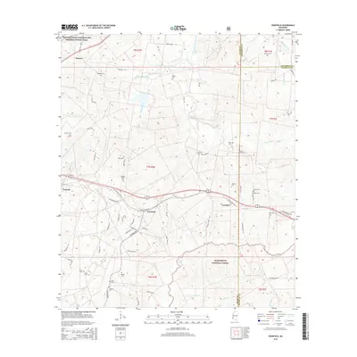
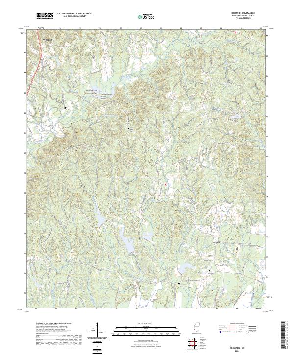
1988 Kingston
Adams County, MS
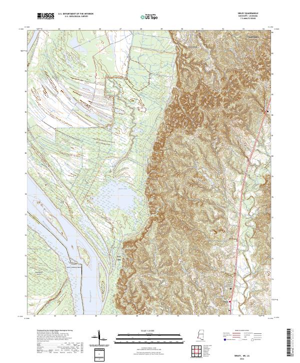
1988 Sibley
Adams County, MS
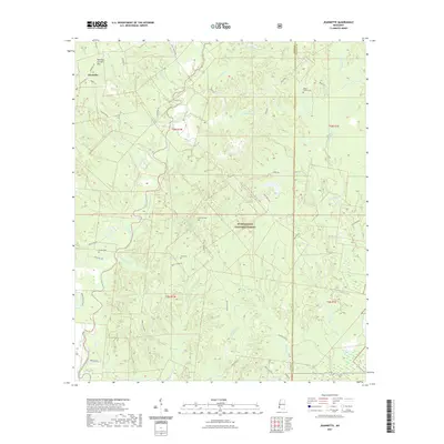
2000 Jeannette
Adams County, MS
2012 Buck Island
Adams County, MS
2012 Cranfield
Adams County, MS
2012 Jeannette
Adams County, MS
2012 Kingston
Adams County, MS
2012 Pine Ridge
Adams County, MS
2012 Sibley
Adams County, MS
2012 Washington
Adams County, MS
2015 Buck Island
Adams County, MS
2015 Cranfield
Adams County, MS
2015 Jeannette
Adams County, MS
2015 Kingston
Adams County, MS
2015 Pine Ridge
Adams County, MS
2015 Sibley
Adams County, MS
2015 Washington
Adams County, MS
2018 Buck Island
Adams County, MS
2018 Cranfield
Adams County, MS
2018 Jeannette
Adams County, MS
2018 Kingston
Adams County, MS
2018 Pine Ridge
Adams County, MS
2018 Sibley
Adams County, MS
2018 Washington
Adams County, MS
2020 Buck Island
Adams County, MS
2020 Kingston
Adams County, MS
2020 Pine Ridge
Adams County, MS
2020 Sibley
Adams County, MS
2020 Washington
Adams County, MS
2021 Cranfield
Adams County, MS
2021 Jeannette
Adams County, MS
2024 Buck Island
Adams County, MS
2024 Cranfield
Adams County, MS
2024 Jeannette
Adams County, MS
2024 Kingston
Adams County, MS
2024 Pine Ridge
Adams County, MS
2024 Sibley
Adams County, MS
2024 Washington
Adams County, MS