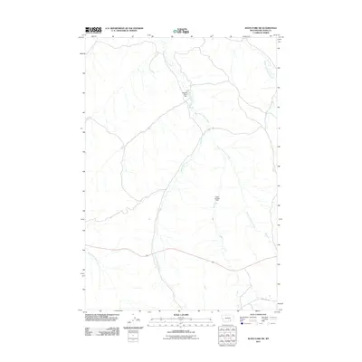
2011 Map of Jeans Fork SW
USGS Topo · Published 2011About this map
West Fork Tullock Creek and its various tributaries define the drainage patterns of this Big Horn County landscape. The map highlights a rural environment managed through water control, evidenced by uniquely named features such as Sticking There Dam and Close Enough Dam. These structures suggest localized ranching or agricultural efforts to manage seasonal flows in a region where water is a critical resource. The southern portion of the quadrangle is traversed by Reno Creek Rd, providing a primary artery through the rolling terrain near North Fork Reno Creek. The network of intermittent streams, including Dipping Vat Creek and Middle Fork Tullock Creek, underscores the importance of watershed management in this part of Montana during the early 21st century.
Find a feature on this map
7 named features on this map. Tap any name to fly to it.
Don’t see what you’re looking for? This feature index may not catch every label — zoom into the map to look around manually.
Map Details
Editions of this 2011 Jeans Fork SW Map
This is the sole edition of this map. No revisions or reprints were ever made.
Other maps of this area

1894 · Rosebud
USGS Topo · 1:125,000

1901 · Rosebud
USGS Topo · 1:125,000

1954 · Hardin
USGS Topo · 1:250,000

1957 · Hardin
USGS Topo · 1:250,000

1958 · Hardin
USGS Topo · 1:250,000

1967 · Jeans Fork NW
USGS Topo · 1:24,000

1967 · Jeans Fork NE
USGS Topo · 1:24,000

1967 · Crow Agency NE
USGS Topo · 1:24,000

1967 · Crow Agency SE
USGS Topo · 1:24,000

1967 · Lodge Grass NE
USGS Topo · 1:24,000