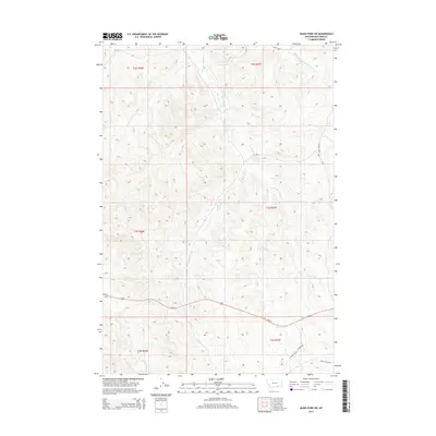
2014 Map of Jeans Fork SW
USGS Topo · Published 2014About this map
W Fork Tullock Cr and Middle Fork Tullock Cr carve through the high terrain of Big Horn County in this 2014 survey. The landscape is defined by the drainage patterns of the Dipping Vat Cr system, which flows south toward N Fork Reno Cr. Transportation in this portion of Montana is centered on Us-212, which cuts across the southern half of the quadrangle. Local access is provided by a network of ranch and service roads, including Miller Cattle Company Rd and Davis Creek Rd, reflecting the region's enduring cattle-ranching heritage. The map also documents the junction of several township and range boundaries, illustrating the legacy of the Public Land Survey System in organizing this rural territory.
Find a feature on this map
14 named features on this map. Tap any name to fly to it.
Don’t see what you’re looking for? This feature index may not catch every label — zoom into the map to look around manually.
Map Details
Editions of this 2014 Jeans Fork SW Map
This is the sole edition of this map. No revisions or reprints were ever made.
Other maps of this area

1894 · Rosebud
USGS Topo · 1:125,000

1901 · Rosebud
USGS Topo · 1:125,000

1954 · Hardin
USGS Topo · 1:250,000

1957 · Hardin
USGS Topo · 1:250,000

1958 · Hardin
USGS Topo · 1:250,000

1967 · Jeans Fork NW
USGS Topo · 1:24,000

1967 · Jeans Fork NE
USGS Topo · 1:24,000

1967 · Crow Agency NE
USGS Topo · 1:24,000

1967 · Crow Agency SE
USGS Topo · 1:24,000

1967 · Lodge Grass NE
USGS Topo · 1:24,000