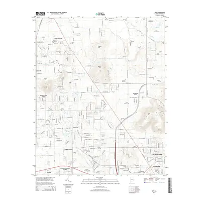
2014 Map of Jeff
USGS Topo · Published 2014About this map
Oakwood Univ and the western reaches of Huntsville anchor the southern portion of this Madison County landscape, where the transition from municipal development to rural foothills is clearly marked. The terrain is defined by a series of prominent elevations including Burwell Mtn, Capshaw Mtn, and Drake Mtn, which separate established residential areas from the agricultural corridors to the north. Extensive genealogical data is preserved through a dense network of family-named burial grounds such as Douglass Pettus Cem, Scruggs Cem, and Strong Douglas Cem.
Find a feature on this map
95 named features on this map. Tap any name to fly to it.
Don’t see what you’re looking for? This feature index may not catch every label — zoom into the map to look around manually.
Map Details
Editions of this 2014 Jeff Map
This is the sole edition of this map. No revisions or reprints were ever made.
Other maps of this area

1888 · Huntsville
USGS Topo · 1:125,000

1892 · Huntsville
USGS Topo · 1:125,000

1936 · Jeff
USGS Topo · 1:24,000

1936 · Capshaw
USGS Topo · 1:24,000

1936 · Madison
USGS Topo · 1:24,000

1936 · Meridianville
USGS Topo · 1:24,000

1936 · Fisk
USGS Topo · 1:24,000

1936 · Ardmore
USGS Topo · 1:24,000

1936 · Toney
USGS Topo · 1:24,000

1936 · Greenbrier
USGS Topo · 1:24,000