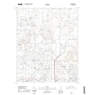
2020 Map of Jeff
USGS Topo · Published 2020About this map
Huntsville and its northwestern suburbs appear here in a period of significant residential expansion across the Madison County landscape. This modern survey illustrates the transition from the traditional rural settlements of Jeff, Monrovia, and Cluttsville into a dense network of neighborhoods like Northside Acres and The Highlands. Despite this growth, the area's agrarian and pioneer history remains visible through a remarkably high density of family burial grounds and small community landmarks, including the Bouldin-Hammond Cem and Conley Chapel Cem.
Find a feature on this map
171 named features on this map. Tap any name to fly to it.
Don’t see what you’re looking for? This feature index may not catch every label — zoom into the map to look around manually.
Map Details
Editions of this 2020 Jeff Map
This is the sole edition of this map. No revisions or reprints were ever made.
Other maps of this area

1888 · Huntsville
USGS Topo · 1:125,000

1892 · Huntsville
USGS Topo · 1:125,000

1936 · Jeff
USGS Topo · 1:24,000

1936 · Capshaw
USGS Topo · 1:24,000

1936 · Madison
USGS Topo · 1:24,000

1936 · Meridianville
USGS Topo · 1:24,000

1936 · Fisk
USGS Topo · 1:24,000

1936 · Ardmore
USGS Topo · 1:24,000

1936 · Toney
USGS Topo · 1:24,000

1936 · Greenbrier
USGS Topo · 1:24,000