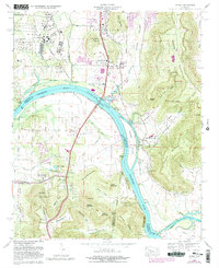
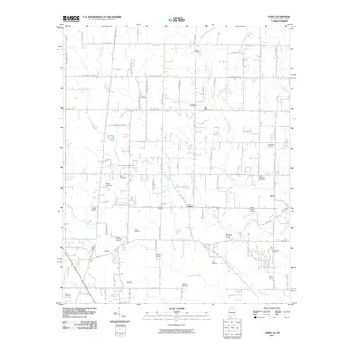
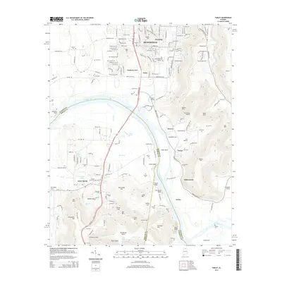
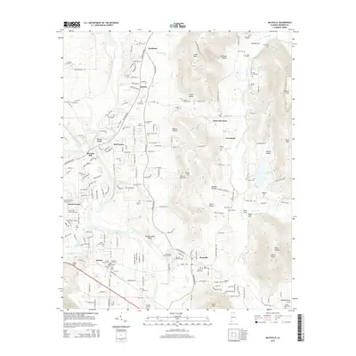
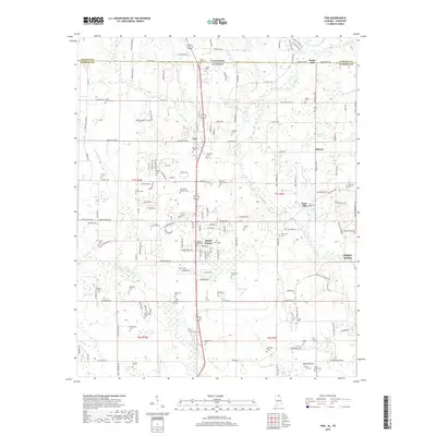
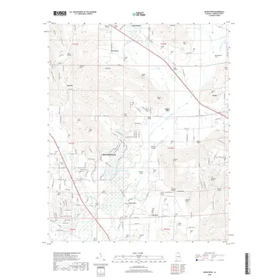
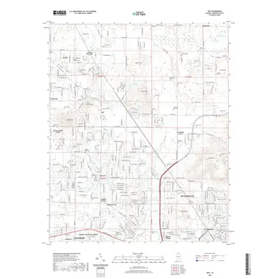
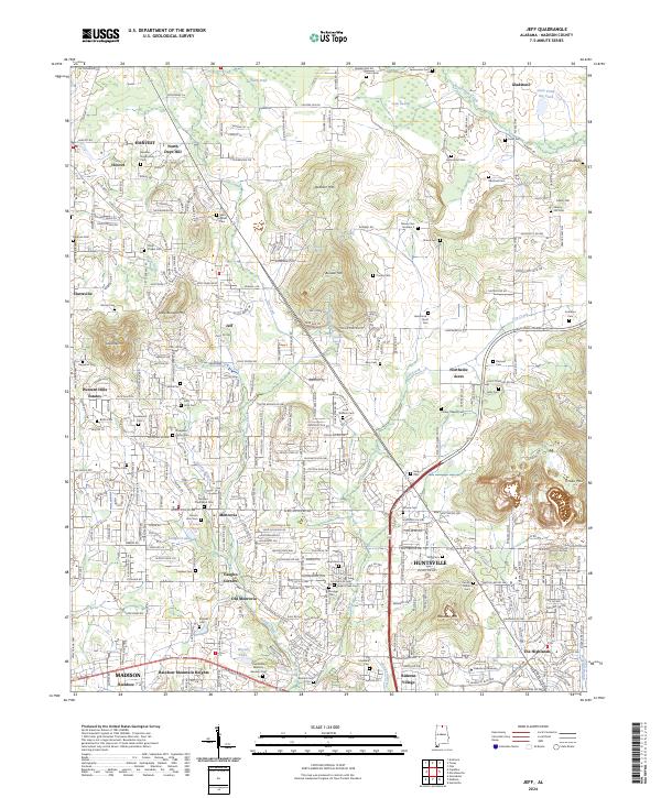
1958 Map of Jeff
USGS Topo · Published 1964About this map
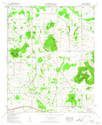
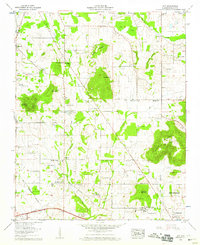
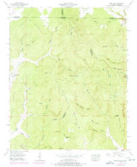
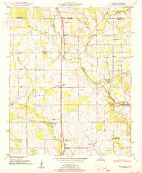
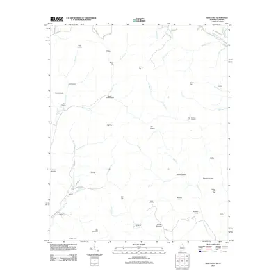
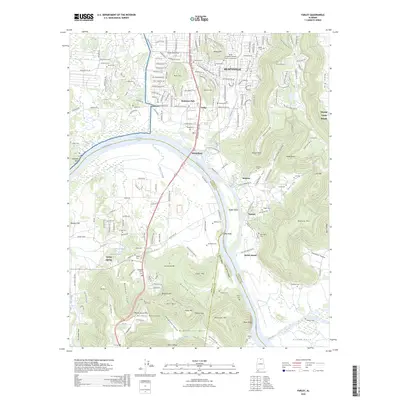
Quarter Mountain and Burwell Mtn dominate the central topography of this Madison County landscape, where agriculture and small rural settlements define the era. The mapping of Old Monrovia and nearby Monrovia illustrates the shifting centers of local life, while numerous family and community cemeteries like Tuck Cem and Hammond Cem provide a dense record for genealogical research. The presence of Oakwood College near the City Boundary of Huntsville signals the northward expansion of the city during the late 1950s. Transportation history is etched into the terrain via the Old Railroad Bed Road and the Chickasaw Boundary, marking historical transit corridors and early land divisions. Distinctive local landmarks include the water cress pond and Kelly Spring, reflecting the area's natural hydrology and traditional land use before suburbanization.
Find a feature on this map
74 named features on this map. Tap any name to fly to it.
Don’t see what you’re looking for? This feature index may not catch every label — zoom into the map to look around manually.
Map Details
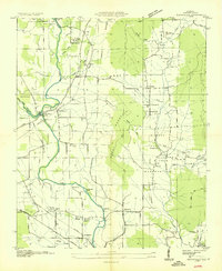
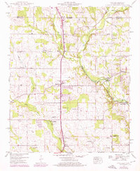
Editions of this 1958 Jeff Map
2 editions found
Historical Maps of Huntsville Through Time
59 maps found

1936 Farley
Madison County, AL

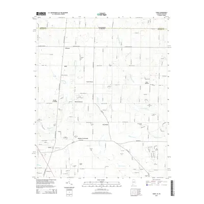
1936 Fisk
Madison County, AL

1936 Jeff
Madison County, AL

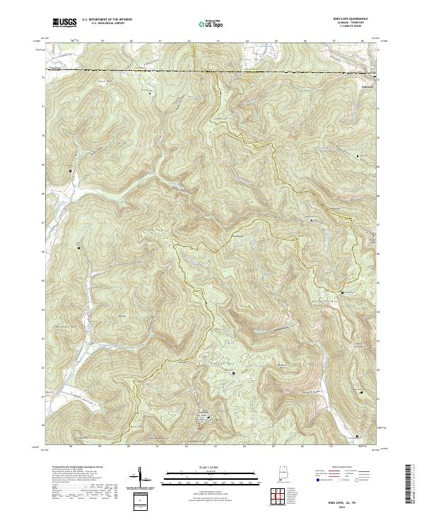
1936 King Cove
Madison County, AL
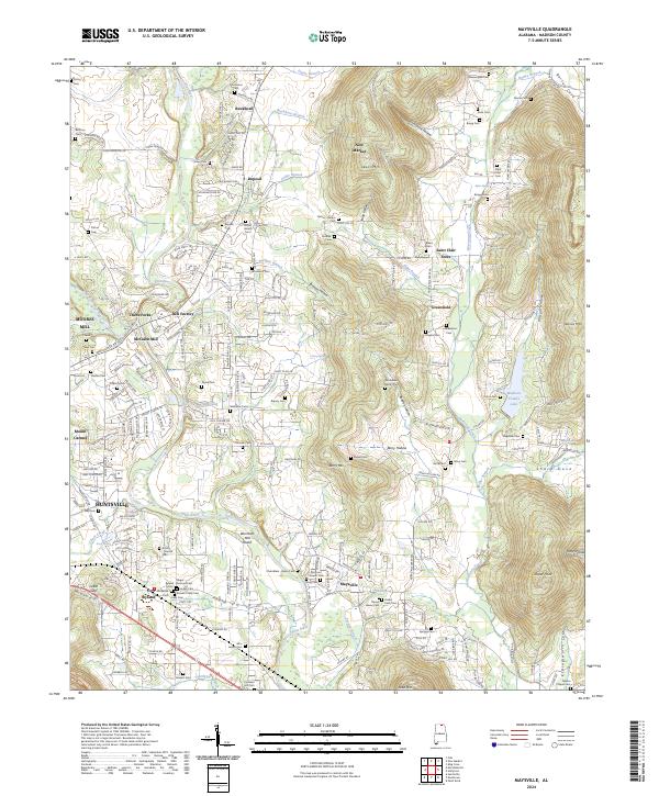
1936 Maysville
Madison County, AL

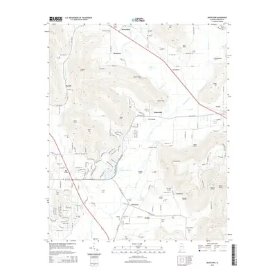
1936 Moontown
Madison County, AL

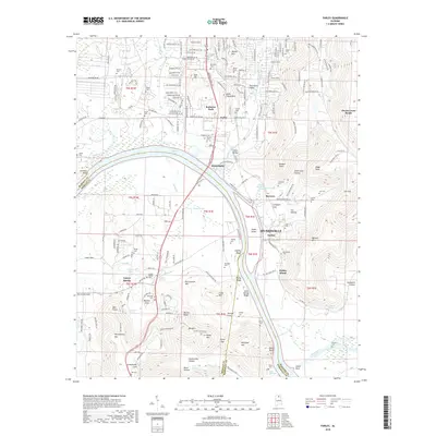
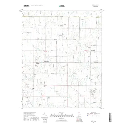
1936 Toney
Madison County, AL

1947 Farley
Madison County, AL
1948 Fisk
Madison County, AL
1948 King Cove
Madison County, AL
1948 Maysville
Madison County, AL
1948 Moontown
Madison County, AL
1950 Farley
Madison County, AL
1951 Fisk
Madison County, AL
1951 King Cove
Madison County, AL
1951 Maysville
Madison County, AL
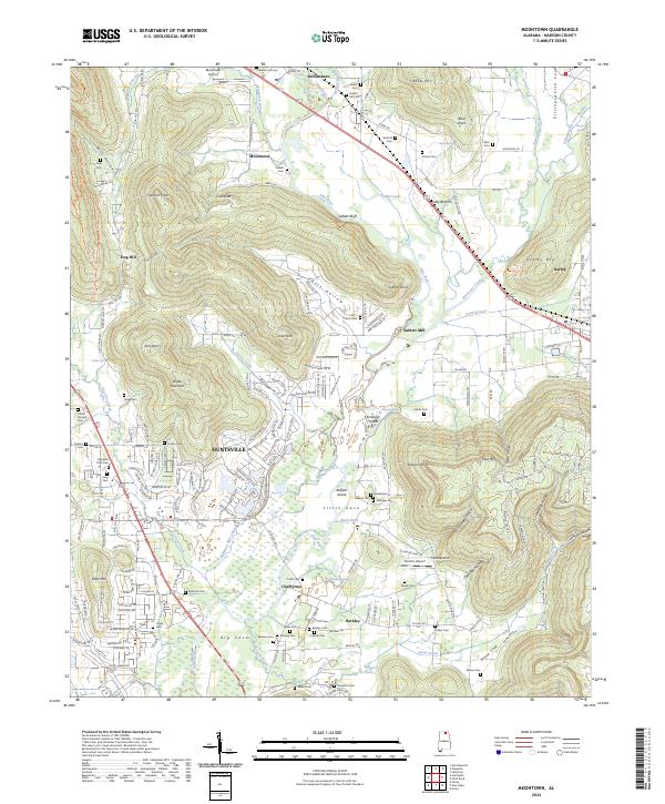
1958 Jeff
Madison County, AL
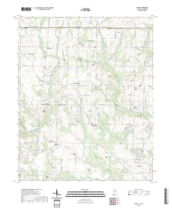
1958 Toney
Madison County, AL
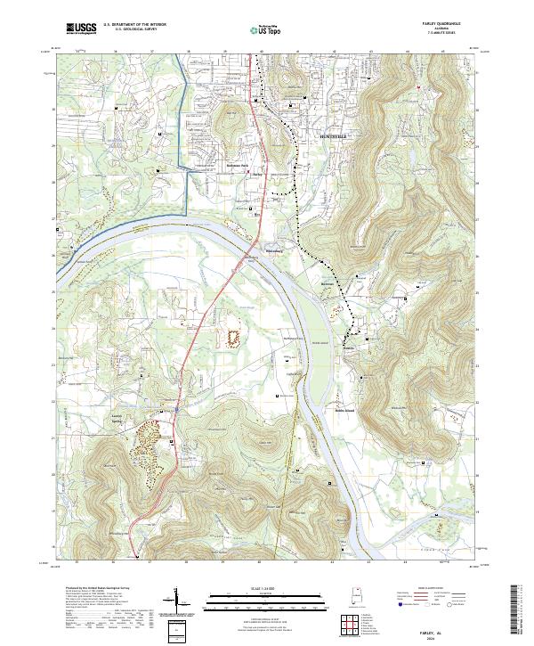
1964 Farley
Madison County, AL
1967 Jeff
Madison County, AL
2010 Fisk
Madison County, AL
2010 King Cove
Madison County, AL
2010 Toney
Madison County, AL
2011 Farley
Madison County, AL
2011 Fisk
Madison County, AL
2011 Jeff
Madison County, AL
2011 King Cove
Madison County, AL
2011 Maysville
Madison County, AL
2011 Moontown
Madison County, AL
2011 Toney
Madison County, AL
2014 Farley
Madison County, AL
2014 Fisk
Madison County, AL
2014 Jeff
Madison County, AL
2014 King Cove
Madison County, AL
2014 Maysville
Madison County, AL
2014 Moontown
Madison County, AL
2014 Toney
Madison County, AL
2018 Farley
Madison County, AL
2018 Fisk
Madison County, AL
2018 Jeff
Madison County, AL
2018 King Cove
Madison County, AL
2018 Maysville
Madison County, AL
2018 Moontown
Madison County, AL
2018 Toney
Madison County, AL
2020 Farley
Madison County, AL
2020 Fisk
Madison County, AL
2020 Jeff
Madison County, AL
2020 King Cove
Madison County, AL
2020 Maysville
Madison County, AL
2020 Moontown
Madison County, AL
2020 Toney
Madison County, AL
2024 Farley
Madison County, AL
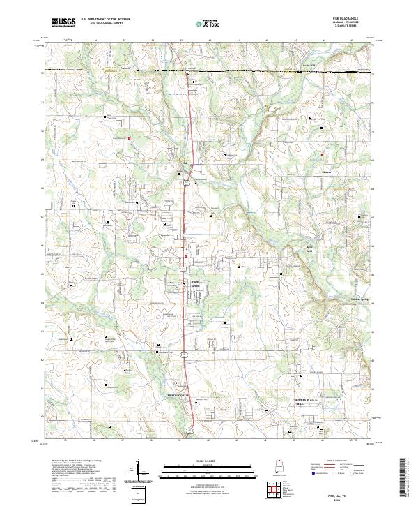
2024 Fisk
Madison County, AL
2024 Jeff
Madison County, AL
2024 King Cove
Madison County, AL
2024 Maysville
Madison County, AL
2024 Moontown
Madison County, AL
2024 Toney
Madison County, AL
2026 Farley
Madison County, AL