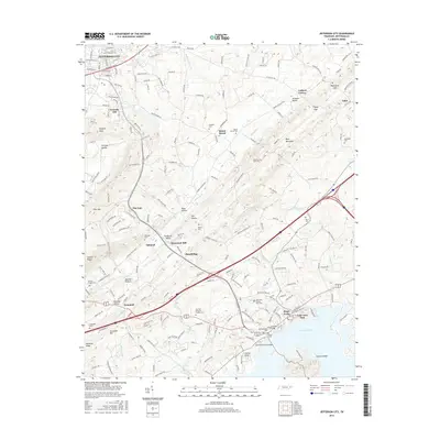
2016 Map of Jefferson City
USGS Topo · Published 2016About this map
Jefferson City and Dandridge anchor this corridor of eastern Tennessee, where the landscape transitions from the campus of Carson-Newman Coll in the north to the northern reaches of Douglas Lake in the south. The terrain is defined by a series of parallel ridges and gaps, including Newman Ridge, Shields Ridge, and Bays Mountain, which have historically dictated the placement of roads like the Old Jefferson City Hwy and Dumplin Valley Rd E.
Find a feature on this map
62 named features on this map. Tap any name to fly to it.
Don’t see what you’re looking for? This feature index may not catch every label — zoom into the map to look around manually.
Map Details
Editions of this 2016 Jefferson City Map
This is the sole edition of this map. No revisions or reprints were ever made.
Other maps of this area

1883 · Morristown
USGS Topo · 1:125,000

1886 · Knoxville
USGS Topo · 1:125,000

1892 · Knoxville
USGS Topo · 1:125,000

1893 · Mt Guyot
USGS Topo · 1:125,000

1893 · Morristown
USGS Topo · 1:125,000

1894 · Knoxville
USGS Topo · 1:125,000

1895 · Morristown
USGS Topo · 1:125,000

1895 · Knoxville
USGS Topo · 1:125,000

1897 · Maynardville
USGS Topo · 1:125,000

1900 · Maynardville
USGS Topo · 1:125,000