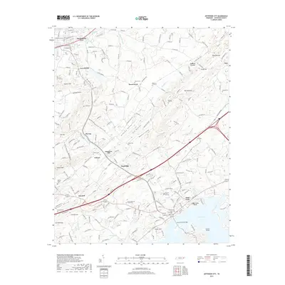
2019 Map of Jefferson City
USGS Topo · Published 2019About this map
Dandridge and Jefferson City anchor this East Tennessee landscape, where the ridge-and-valley topography of Shields Ridge and Newman Ridge dictates the layout of modern infrastructure. The northern portion of the map is defined by the rural corridors of Mount Horeb and Colliers Corner, while the southern end transitions into the shoreline of Douglas Lake. The map reveals a dense network of local cemeteries, including the Old Dandridge Cem and Hopewell Cem, which provide significant points of reference for genealogical research in this long-settled area.
Find a feature on this map
219 named features on this map. Tap any name to fly to it.
Don’t see what you’re looking for? This feature index may not catch every label — zoom into the map to look around manually.
Map Details
Editions of this 2019 Jefferson City Map
This is the sole edition of this map. No revisions or reprints were ever made.
Other maps of this area

1883 · Morristown
USGS Topo · 1:125,000

1886 · Knoxville
USGS Topo · 1:125,000

1892 · Knoxville
USGS Topo · 1:125,000

1893 · Mt Guyot
USGS Topo · 1:125,000

1893 · Morristown
USGS Topo · 1:125,000

1894 · Knoxville
USGS Topo · 1:125,000

1895 · Morristown
USGS Topo · 1:125,000

1895 · Knoxville
USGS Topo · 1:125,000

1897 · Maynardville
USGS Topo · 1:125,000

1900 · Maynardville
USGS Topo · 1:125,000