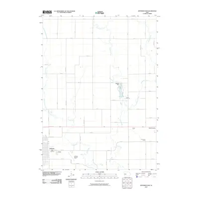
2010 Map of Jefferson East
USGS Topo · Published 2010About this map
Jefferson and Grand Junction anchor this Greene County landscape, which is defined by the meandering courses of Hardin Creek and the various branches of Buttrick Creek. The map reveals a highly structured rural grid, where the intersections of roads like O Ave and 210th St organize the agricultural interior between the two primary settlements. Near the center, Spring Lake and the adjacent Lakeside Golf Course offer a recreational contrast to the industrial footprint of a nearby Gravel Pit. On the outskirts of Jefferson, the Greene County Fairgrounds and Jefferson Municipal Airport reflect the civic infrastructure of the regional hub, while the Jefferson Cemetery and Grand Junction Cemetery provide important landmarks for those researching local family histories. The presence of Hill Golf Course near Grand Junction further illustrates the distribution of community spaces across this central Iowa prairie terrain.
Find a feature on this map
47 named features on this map. Tap any name to fly to it.
Don’t see what you’re looking for? This feature index may not catch every label — zoom into the map to look around manually.
Map Details
Editions of this 2010 Jefferson East Map
This is the sole edition of this map. No revisions or reprints were ever made.
Other maps of this area

1950 · Perry
USGS Topo · 1:62,500

1951 · Perry
USGS Topo · 1:62,500

1951 · Ogden
USGS Topo · 1:62,500

1954 · Bagley
USGS Topo · 1:62,500

1954 · Omaha
USGS Topo · 1:250,000

1954 · Fort Dodge
USGS Topo · 1:250,000

1957 · Omaha
USGS Topo · 1:250,000

1957 · Fort Dodge
USGS Topo · 1:250,000

1958 · Omaha
USGS Topo · 1:250,000

1958 · Fort Dodge
USGS Topo · 1:250,000