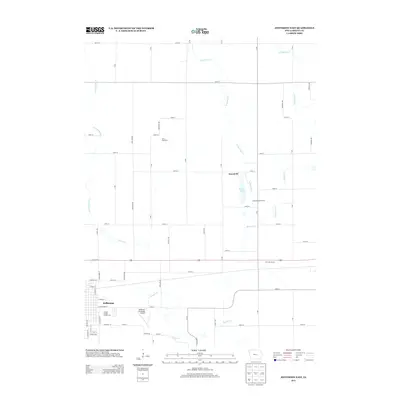
2013 Map of Jefferson East
USGS Topo · Published 2013About this map
The city of Jefferson anchors the southwestern corner of this quadrangle, serving as a hub for the agricultural landscape of Grant Township. The topography is defined by the winding paths of Buttrick Cr and its tributaries, including W Buttrick Cr and E Buttrick Cr, which carve a north-south drainage pattern through the central and eastern sections. Significant civic and commercial landmarks are situated on the outskirts of the town, most notably the Greene County Fairgrounds and the Jefferson Municipal Airport.
Find a feature on this map
61 named features on this map. Tap any name to fly to it.
Don’t see what you’re looking for? This feature index may not catch every label — zoom into the map to look around manually.
Map Details
Editions of this 2013 Jefferson East Map
This is the sole edition of this map. No revisions or reprints were ever made.
Other maps of this area

1950 · Perry
USGS Topo · 1:62,500

1951 · Perry
USGS Topo · 1:62,500

1951 · Ogden
USGS Topo · 1:62,500

1954 · Bagley
USGS Topo · 1:62,500

1954 · Omaha
USGS Topo · 1:250,000

1954 · Fort Dodge
USGS Topo · 1:250,000

1957 · Omaha
USGS Topo · 1:250,000

1957 · Fort Dodge
USGS Topo · 1:250,000

1958 · Omaha
USGS Topo · 1:250,000

1958 · Fort Dodge
USGS Topo · 1:250,000