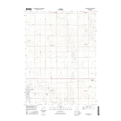
2015 Map of Jefferson East
USGS Topo · Published 2015About this map
Jefferson and Grand Junction anchor this Greene County landscape, which is defined by a dense grid of rural township roads and a complex network of waterways. The eastern reaches of Jefferson are mapped alongside the Jefferson Municipal Airport and the Jefferson Cem, while the town of Grand Junction sits to the east near its own Grand Junction Cem. The drainage patterns here are distinct, with the Hardin Cr and E Fork Hardin Cr carving through the western sections, while the center and east are dominated by the winding paths of Buttrick Cr, W Buttrick Cr, and E Buttrick Cr. A notable recreational feature, Spring Lake, lies north of the junction between several township sections. This map documents a stable agricultural region where the placement of small-town infrastructure and cemeteries remains integrated with the natural riparian corridors.
Find a feature on this map
48 named features on this map. Tap any name to fly to it.
Don’t see what you’re looking for? This feature index may not catch every label — zoom into the map to look around manually.
Map Details
Editions of this 2015 Jefferson East Map
This is the sole edition of this map. No revisions or reprints were ever made.
Other maps of this area

1950 · Perry
USGS Topo · 1:62,500

1951 · Perry
USGS Topo · 1:62,500

1951 · Ogden
USGS Topo · 1:62,500

1954 · Bagley
USGS Topo · 1:62,500

1954 · Omaha
USGS Topo · 1:250,000

1954 · Fort Dodge
USGS Topo · 1:250,000

1957 · Omaha
USGS Topo · 1:250,000

1957 · Fort Dodge
USGS Topo · 1:250,000

1958 · Omaha
USGS Topo · 1:250,000

1958 · Fort Dodge
USGS Topo · 1:250,000