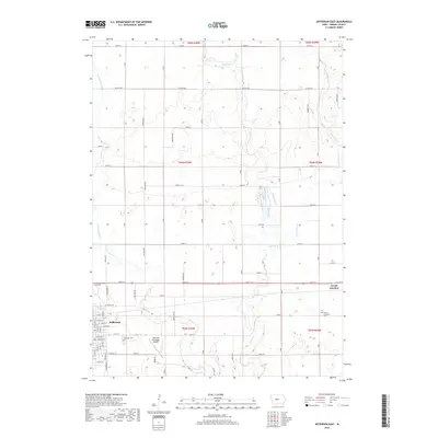
2018 Map of Jefferson East
USGS Topo · Published 2018About this map
Jefferson serves as the primary hub of this Greene County landscape, situated where the grid of city streets meets the expansive agricultural townships of the Iowa prairie. The map shows the transition from the structured urban layout of Jefferson, with streets like E Adams St and E Russell St, to the broader section-line road network defined by Co Hwy E26 and 220th St. Local history is anchored by the Jefferson Cem and the Grand Junction Cem to the east, which offer significant points of interest for genealogical research. The natural topography is shaped by the meandering paths of Buttrick Cr and its tributaries, including W Buttrick Cr and E Buttrick Cr, which disrupt the otherwise orderly rectangular survey lines. To the east, the settlement of Grand Junction marks another critical point of regional connectivity, while the Jefferson Municipal Airport indicates the modern infrastructure serving this rural corridor.
Find a feature on this map
68 named features on this map. Tap any name to fly to it.
Don’t see what you’re looking for? This feature index may not catch every label — zoom into the map to look around manually.
Map Details
Editions of this 2018 Jefferson East Map
This is the sole edition of this map. No revisions or reprints were ever made.
Other maps of this area

1950 · Perry
USGS Topo · 1:62,500

1951 · Perry
USGS Topo · 1:62,500

1951 · Ogden
USGS Topo · 1:62,500

1954 · Bagley
USGS Topo · 1:62,500

1954 · Omaha
USGS Topo · 1:250,000

1954 · Fort Dodge
USGS Topo · 1:250,000

1957 · Omaha
USGS Topo · 1:250,000

1957 · Fort Dodge
USGS Topo · 1:250,000

1958 · Omaha
USGS Topo · 1:250,000

1958 · Fort Dodge
USGS Topo · 1:250,000