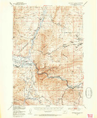
1950 Map of Jefferson Island
USGS Topo · Published 1954About this map
The Jefferson River and Boulder River converge in this high-plains landscape, where the confluence creates a natural hub for early 1950s infrastructure. The Northern Pacific and Chicago Milwaukee St Paul and Pacific railroads parallel the water, serving the agricultural and mining interests of the London Hills. Cultural landmarks such as Lewis and Clark Cavern State Park and the South Boulder Cemetery anchor the local geography, while the presence of the Eureka School and numerous family holdings like Heule Ranch and Tribble Ranch reflect a well-established ranching community. The map also records industrial history through the Mayflower Mine and a Gypsum Mine (Aband), illustrating the shifting economic priorities of the era. Settlement is concentrated at Cardwell and Sappington, points that mark the intersection of rail transport and rural mountain life.
Find a feature on this map
74 named features on this map. Tap any name to fly to it.
Don’t see what you’re looking for? This feature index may not catch every label — zoom into the map to look around manually.
Map Details
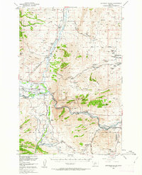
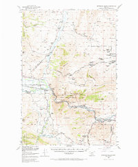
Editions of this 1950 Jefferson Island Map
4 editions found

Other maps of this area

1886 · Fort Logan
USGS Topo · 1:250,000

1888 · Three Forks
USGS Topo · 1:250,000

1889 · Helena
USGS Topo · 1:250,000

1893 · Helena
USGS Topo · 1:250,000

1893 · Dillon
USGS Topo · 1:250,000

1894 · Three Forks
USGS Topo · 1:250,000

1895 · Three Forks
USGS Topo · 1:250,000

1899 · Boulder
USGS Topo · 1:125,000

1899 · Helena
USGS Topo · 1:250,000

1903 · Helena
USGS Topo · 1:250,000