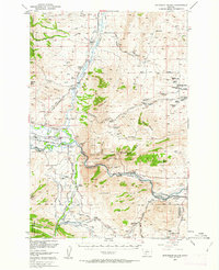
1950 Map of Jefferson Island
USGS Topo · Published 1963About this map
The Boulder River and Jefferson River converge in a landscape defined by ranching and resource extraction. Significant infrastructure from the Chicago Milwaukee ST Paul And Pacific and the Northern Pacific railroads follows the river valleys, connecting small settlements like Cardwell and Jefferson Island. The era is marked by a transition in land use, where local industry such as the Gypsum Mine (Inactive) and several Mines (Aban'd) sit alongside the emerging recreational draw of Lewis And Clark Cavern State Park.
Find a feature on this map
73 named features on this map. Tap any name to fly to it.
Don’t see what you’re looking for? This feature index may not catch every label — zoom into the map to look around manually.
Map Details
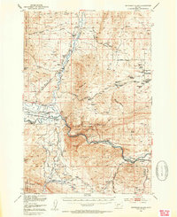
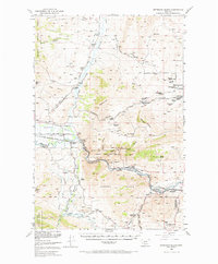
Editions of this 1950 Jefferson Island Map
4 editions found

Other maps of this area

1886 · Fort Logan
USGS Topo · 1:250,000

1888 · Three Forks
USGS Topo · 1:250,000

1889 · Helena
USGS Topo · 1:250,000

1893 · Helena
USGS Topo · 1:250,000

1893 · Dillon
USGS Topo · 1:250,000

1894 · Three Forks
USGS Topo · 1:250,000

1895 · Three Forks
USGS Topo · 1:250,000

1899 · Boulder
USGS Topo · 1:125,000

1899 · Helena
USGS Topo · 1:250,000

1903 · Helena
USGS Topo · 1:250,000