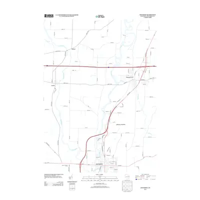
2013 Map of Jefferson
USGS Topo · Published 2013About this map
The Rock River and Crawfish River converge just south of this area, defining a landscape of wetlands and watercourses in Jefferson County. The city of Jefferson serves as the primary hub at the southern edge of the map, where the street grid meets the riverbank. Further north, the settlement of Johnson Creek is established near the intersection of major transit corridors, while Jefferson Junction marks a key point in the local rail and road network. This era reflects the modern expansion of these communities, balanced against the persistent presence of agricultural land and family estates, as evidenced by numerous named rural routes such as Ziebell Rd and Vandre Rd. Cultural landmarks like the Highway 18 Outdoor Theatre highlight the mid-century developments that remain integrated into the town's peripheral landscape alongside older settlements like Milford and Aztalan.
Find a feature on this map
95 named features on this map. Tap any name to fly to it.
Don’t see what you’re looking for? This feature index may not catch every label — zoom into the map to look around manually.
Map Details
Editions of this 2013 Jefferson Map
This is the sole edition of this map. No revisions or reprints were ever made.
Other maps of this area

1891 · Waterloo
USGS Topo · 1:62,500

1891 · Koshkonong
USGS Topo · 1:62,500

1892 · Watertown
USGS Topo · 1:62,500

1892 · Whitewater
USGS Topo · 1:62,500

1893 · Whitewater
USGS Topo · 1:62,500

1894 · Waterloo
USGS Topo · 1:62,500

1894 · Watertown
USGS Topo · 1:62,500

1894 · Koshkonong
USGS Topo · 1:62,500

1903 · Whitewater
USGS Topo · 1:62,500

1906 · Koshkonong
USGS Topo · 1:62,500