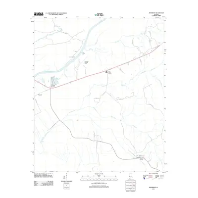
2011 Map of Jefferson
USGS Topo · Published 2011About this map
The Tombigbee River serves as the central artery of this West Alabama landscape, flowing past small riverside settlements like Pandora, Paces Landing West, and Paces Landing East. This 2011 survey captures the area's rural character, anchored by the community of Jefferson in the southeast corner. Here, local history is preserved at the Jefferson Smalls Cemetery and the Jefferson Post Office, while further north, the Millers Chapel and Millers Chapel Cemetery stand near a notable Salt Well.
Find a feature on this map
45 named features on this map. Tap any name to fly to it.
Don’t see what you’re looking for? This feature index may not catch every label — zoom into the map to look around manually.
Map Details
Editions of this 2011 Jefferson Map
This is the sole edition of this map. No revisions or reprints were ever made.
Other maps of this area

1929 · Epes
USGS Topo · 1:48,000

1932 · Epes
USGS Topo · 1:62,500

1946 · Demopolis
USGS Topo · 1:24,000

1947 · Demopolis
USGS Topo · 1:24,000

1948 · Mc Dowell
USGS Topo · 1:24,000

1949 · Mc Dowell
USGS Topo · 1:24,000

1953 · Montgomery
USGS Topo · 1:250,000

1953 · Meridian
USGS Topo · 1:250,000

1956 · Montgomery
USGS Topo · 1:250,000

1957 · Meridian
USGS Topo · 1:250,000