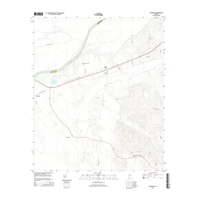
2014 Map of Jefferson
USGS Topo · Published 2014About this map
The Tombigbee River serves as the prominent boundary between Sumter and Marengo Counties on this 2014 survey. The landscape is defined by the winding paths of several waterways, including Double Cr and Allen Cr, which drain into the river valley. The historic community of Jefferson sits in the southeast, while the aptly named Salt Well and the settlement of Moscow occupy the northern and western reaches of the quadrangle. Industrial and infrastructure footprints are evident in the Gulf States Paper Company Lake and the Demopolis Municipal Airport near the center of the sheet.
Find a feature on this map
44 named features on this map. Tap any name to fly to it.
Don’t see what you’re looking for? This feature index may not catch every label — zoom into the map to look around manually.
Map Details
Editions of this 2014 Jefferson Map
This is the sole edition of this map. No revisions or reprints were ever made.
Other maps of this area

1929 · Epes
USGS Topo · 1:48,000

1932 · Epes
USGS Topo · 1:62,500

1946 · Demopolis
USGS Topo · 1:24,000

1947 · Demopolis
USGS Topo · 1:24,000

1948 · Mc Dowell
USGS Topo · 1:24,000

1949 · Mc Dowell
USGS Topo · 1:24,000

1953 · Montgomery
USGS Topo · 1:250,000

1953 · Meridian
USGS Topo · 1:250,000

1956 · Montgomery
USGS Topo · 1:250,000

1957 · Meridian
USGS Topo · 1:250,000