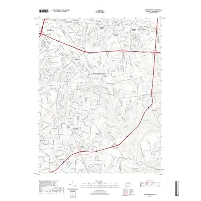
2019 Map of Jeffersontown
USGS Topo · Published 2019About this map
Jeffersontown and the surrounding eastern Louisville suburbs appear in high detail at a moment of dense residential development. The landscape is characterized by established neighborhoods like Lyndon, St. Matthews, and Middletown, which are connected by a network of major thoroughfares including Shelbyville Rd and Taylorsville Rd. This modern survey illustrates how once-separate rural settlements have merged into a continuous suburban corridor while preserving local identity through historic markers.
Find a feature on this map
64 named features on this map. Tap any name to fly to it.
Don’t see what you’re looking for? This feature index may not catch every label — zoom into the map to look around manually.
Map Details
Editions of this 2019 Jeffersontown Map
This is the sole edition of this map. No revisions or reprints were ever made.
Other maps of this area

1905 · Prospect
USGS Topo · 1:62,500

1907 · Louisville
USGS Topo · 1:62,500

1912 · Prospect
USGS Topo · 1:62,500

1929 · Taylorsville
USGS Topo · 1:62,500

1932 · La Grange
USGS Topo · 1:62,500

1937 · Jeffersonville
USGS Topo · 1:24,000

1946 · Jeffersonville
USGS Topo · 1:24,000

1951 · Anchorage
USGS Topo · 1:24,000

1951 · Crestwood
USGS Topo · 1:24,000
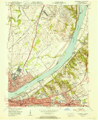
1951 · Jeffersonville
USGS Topo · 1:24,000