
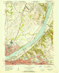
1951 Map of Jeffersontown
USGS Topo · Published 1951About this map
Jeffersontown and Middletown serve as the primary hubs of activity in this mid-century view of eastern Jefferson County. The landscape is a network of rural lanes and emerging residential pockets, such as Hikes Point and Wildwood, connected by the prominent Bardstown Road. Notable social and community landmarks are scattered throughout, including the Spring Meadows Childrens Home and the Sky View Playground, which sit near the County Home Cem.
Find a feature on this map
50 named features on this map. Tap any name to fly to it.
Don’t see what you’re looking for? This feature index may not catch every label — zoom into the map to look around manually.
Map Details
Editions of this 1951 Jeffersontown Map
This is the sole edition of this map. No revisions or reprints were ever made.
Other maps of this area

1905 · Prospect
USGS Topo · 1:62,500

1907 · Louisville
USGS Topo · 1:62,500

1912 · Prospect
USGS Topo · 1:62,500

1929 · Taylorsville
USGS Topo · 1:62,500

1932 · La Grange
USGS Topo · 1:62,500

1937 · Jeffersonville
USGS Topo · 1:24,000

1946 · Jeffersonville
USGS Topo · 1:24,000

1951 · Anchorage
USGS Topo · 1:24,000

1951 · Crestwood
USGS Topo · 1:24,000
1951 · Jeffersonville
USGS Topo · 1:24,000