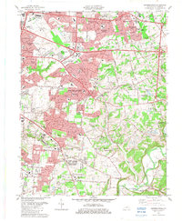
1982 Map of Jeffersontown
USGS Topo · Published 1983About this map
The Southern railroad corridor anchors this early 1980s topographic study, illustrating the intensive suburban expansion east of Louisville. Major residential developments like Blue Ridge Manor, Douglass Hills, and Hurstbourne Acres demonstrate the era's rapid growth, replacing rural tracts with neighborhood grids. Despite this modernization, the map preserves older community centers and landmarks, including the historic core of Jeffersontown and the village of Seatonville near the banks of Floyds Fork.
Find a feature on this map
69 named features on this map. Tap any name to fly to it.
Don’t see what you’re looking for? This feature index may not catch every label — zoom into the map to look around manually.
Map Details
Editions of this 1982 Jeffersontown Map
This is the sole edition of this map. No revisions or reprints were ever made.
Other maps of this area

1905 · Prospect
USGS Topo · 1:62,500

1907 · Louisville
USGS Topo · 1:62,500

1912 · Prospect
USGS Topo · 1:62,500

1929 · Taylorsville
USGS Topo · 1:62,500

1932 · La Grange
USGS Topo · 1:62,500

1937 · Jeffersonville
USGS Topo · 1:24,000

1946 · Jeffersonville
USGS Topo · 1:24,000

1951 · Anchorage
USGS Topo · 1:24,000

1951 · Crestwood
USGS Topo · 1:24,000
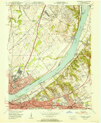
1951 · Jeffersonville
USGS Topo · 1:24,000