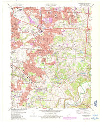
1984 Map of Jeffersontown
USGS Topo · Published 1987About this map
Jeffersontown and the surrounding suburban expansion of eastern Jefferson County are caught in a moment of rapid transition during the mid-1980s. The map illustrates the densifying residential nodes of Fern Creek and Hurstbourne Acres alongside established institutions like the Hurstbourne Country Club and St Edwards Ch. While much of the area shows significant urban development, the eastern and southern reaches retain their rolling topography, defined by the winding course of Floyds Fork and the rural character near Seatonville.
Find a feature on this map
70 named features on this map. Tap any name to fly to it.
Don’t see what you’re looking for? This feature index may not catch every label — zoom into the map to look around manually.
Map Details
Editions of this 1984 Jeffersontown Map
2 editions found
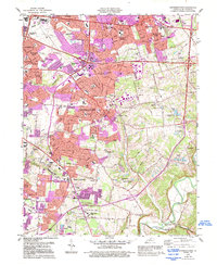
Other maps of this area

1905 · Prospect
USGS Topo · 1:62,500

1907 · Louisville
USGS Topo · 1:62,500

1912 · Prospect
USGS Topo · 1:62,500

1929 · Taylorsville
USGS Topo · 1:62,500

1932 · La Grange
USGS Topo · 1:62,500

1937 · Jeffersonville
USGS Topo · 1:24,000

1946 · Jeffersonville
USGS Topo · 1:24,000

1951 · Anchorage
USGS Topo · 1:24,000

1951 · Crestwood
USGS Topo · 1:24,000
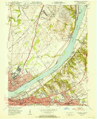
1951 · Jeffersonville
USGS Topo · 1:24,000