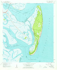
1957 Map of Jekyll Island
USGS Topo · Published 1959About this map
Jekyll Island is depicted here during a transformative era of state-managed conservation and early coastal development. The island, designated as Jekyll Island State Park, is connected to the mainland by the Sidney Lanier Bridge (Toll), crossing the Brunswick River. The map captures the island’s interior road network, including names like Major Horton Road and Captain Wylly Road, which reflect the area's deep-rooted history.
Find a feature on this map
55 named features on this map. Tap any name to fly to it.
Don’t see what you’re looking for? This feature index may not catch every label — zoom into the map to look around manually.
Map Details
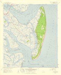
Editions of this 1957 Jekyll Island Map
2 editions found
Other maps of this area

1918 · Cumberland Island
USGS Topo · 1:62,500

1918 · Bladen
USGS Topo · 1:62,500

1918 · Kingsland
USGS Topo · 1:62,500

1930 · Cumberland Island
USGS Topo · 1:62,500

1939 · Bladen
USGS Topo · 1:62,500

1945 · Brunswick
USGS Topo · 1:62,500

1945 · Cumberland Island
USGS Topo · 1:62,500

1946 · Brunswick
USGS Topo · 1:250,000

1948 · Jacksonville
USGS Topo · 1:250,000

1948 · Brunswick
USGS Topo · 1:250,000