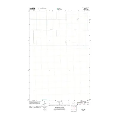
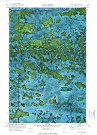
2010 Map of Jelle
USGS Topo · Published 2010About this map
Jelle stands as a primary settlement point in this sparsely populated region of northern Minnesota during the early 21st century. The landscape is defined by its rectilinear grid and the essential transit corridors that connect this rural community to the surrounding county. Transportation and access are anchored by County Hwy-42, which cuts a horizontal path across the northern portion of the quadrangle, and Jelle Rd NW, which provides the north-south artery for the area. The map reveals a highly structured surveyor’s grid, characteristic of the flat, open terrain of Beltrami County, where land use is dictated by the precise geometry of section lines and isolated road developments.
Find a feature on this map
3 named features on this map. Tap any name to fly to it.
Don’t see what you’re looking for? This feature index may not catch every label — zoom into the map to look around manually.
Map Details
Editions of this 2010 Jelle Map
This is the sole edition of this map. No revisions or reprints were ever made.
Other maps of this area

1918 · Malcolm
USGS Topo · 1:62,500

1918 · Jelle
USGS Topo · 1:62,500

1919 · Liner
USGS Topo · 1:62,500

1954 · Roseau
USGS Topo · 1:250,000

1957 · Roseau
USGS Topo · 1:250,000

1958 · Roseau
USGS Topo · 1:250,000
1972 · Good Lake
USGS Topo · 1:24,000
1973 · Grygla
USGS Topo · 1:24,000
1973 · Erie NE
USGS Topo · 1:24,000
1973 · Cahill Lake
USGS Topo · 1:24,000