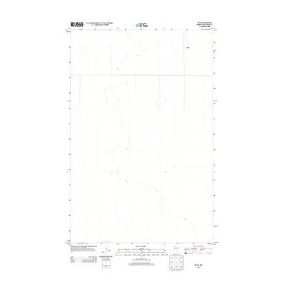
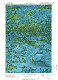
2013 Map of Jelle
USGS Topo · Published 2013About this map
Jelle stands as the primary namesake settlement in this northern Minnesota landscape within Beltrami County. This 2013 survey illustrates a region defined by an expansive, low-lying drainage pattern typical of the North Woods, where subtle elevation changes guide the flow of local hydrography across the township. The geography is characterized by its sparse development and the systematic grid of rural roads that connect this isolated community to the broader county network. Data sourced from the U.S. Geological Survey and Census Bureau records show a landscape where modern infrastructure meets a traditional wilderness footprint, offering a precise look at the area's twentieth-century boundaries and late-modern topographical layout.
Find a feature on this map
1 named feature on this map. Tap any name to fly to it.
Don’t see what you’re looking for? This feature index may not catch every label — zoom into the map to look around manually.
Map Details
Editions of this 2013 Jelle Map
This is the sole edition of this map. No revisions or reprints were ever made.
Other maps of this area

1918 · Malcolm
USGS Topo · 1:62,500

1918 · Jelle
USGS Topo · 1:62,500

1919 · Liner
USGS Topo · 1:62,500

1954 · Roseau
USGS Topo · 1:250,000

1957 · Roseau
USGS Topo · 1:250,000

1958 · Roseau
USGS Topo · 1:250,000
1972 · Good Lake
USGS Topo · 1:24,000
1973 · Grygla
USGS Topo · 1:24,000
1973 · Erie NE
USGS Topo · 1:24,000
1973 · Cahill Lake
USGS Topo · 1:24,000