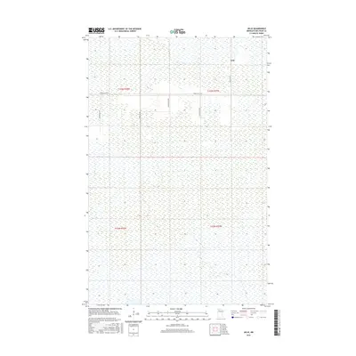
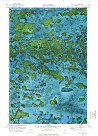
2016 Map of Jelle
USGS Topo · Published 2016About this map
The settlement of Jelle sits within a vast expanse of Northwoods wetlands in Beltrami County, defined by its isolation and the rectilinear grid of the Public Land Survey System. Located at the intersection of Jelle Rd NW and Thorhult Rd NW, this small community is the primary landmark in a landscape dominated by marshy terrain and drainage patterns. The map illustrates how human activity is constrained to a few established corridors, including Magnuson Rd NW and Clifford Ln NW, which provide access through the saturated ground. This 2016 survey documents the enduring layout of rural northern Minnesota, where the township and range lines of t155n r37w and t154n r37w provide the only structural framework for an area largely untouched by dense development.
Find a feature on this map
10 named features on this map. Tap any name to fly to it.
Don’t see what you’re looking for? This feature index may not catch every label — zoom into the map to look around manually.
Map Details
Editions of this 2016 Jelle Map
This is the sole edition of this map. No revisions or reprints were ever made.
Other maps of this area

1918 · Malcolm
USGS Topo · 1:62,500

1918 · Jelle
USGS Topo · 1:62,500

1919 · Liner
USGS Topo · 1:62,500

1954 · Roseau
USGS Topo · 1:250,000

1957 · Roseau
USGS Topo · 1:250,000

1958 · Roseau
USGS Topo · 1:250,000
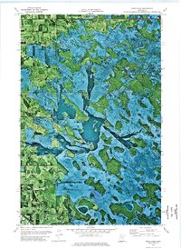
1972 · Good Lake
USGS Topo · 1:24,000
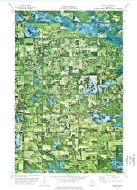
1973 · Grygla
USGS Topo · 1:24,000
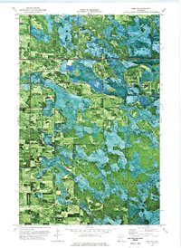
1973 · Erie NE
USGS Topo · 1:24,000
1973 · Cahill Lake
USGS Topo · 1:24,000