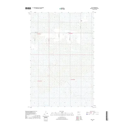
2019 Map of Jelle
USGS Topo · Published 2019About this map
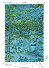
The unincorporated community of Jelle sits within a vast expanse of wetland in northern Beltrami County. This 2019 survey illustrates the sparse, grid-based road network that services this remote portion of Minnesota, centered around Thorhult Rd NW and Jelle Rd NW. The landscape is dominated by the complex hydrography of the region, where numerous small water bodies and marshlands dictate the placement of human settlement and transport. Small rural routes such as Magnuson Rd NW, Shack Ln NW, and Clifford Ln NW provide the only access points into the surrounding wilderness. The map captures the intersection of several townships, including t155n r37w and t154n r38w, reflecting a late 20th and early 21st-century pattern of land management in an area where the natural environment remains the primary feature.
Find a feature on this map
10 named features on this map. Tap any name to fly to it.
Don’t see what you’re looking for? This feature index may not catch every label — zoom into the map to look around manually.
Map Details
Editions of this 2019 Jelle Map
This is the sole edition of this map. No revisions or reprints were ever made.
Other maps of this area

1918 · Malcolm
USGS Topo · 1:62,500

1918 · Jelle
USGS Topo · 1:62,500

1919 · Liner
USGS Topo · 1:62,500

1954 · Roseau
USGS Topo · 1:250,000

1957 · Roseau
USGS Topo · 1:250,000

1958 · Roseau
USGS Topo · 1:250,000
1972 · Good Lake
USGS Topo · 1:24,000
1973 · Grygla
USGS Topo · 1:24,000
1973 · Erie NE
USGS Topo · 1:24,000
1973 · Cahill Lake
USGS Topo · 1:24,000