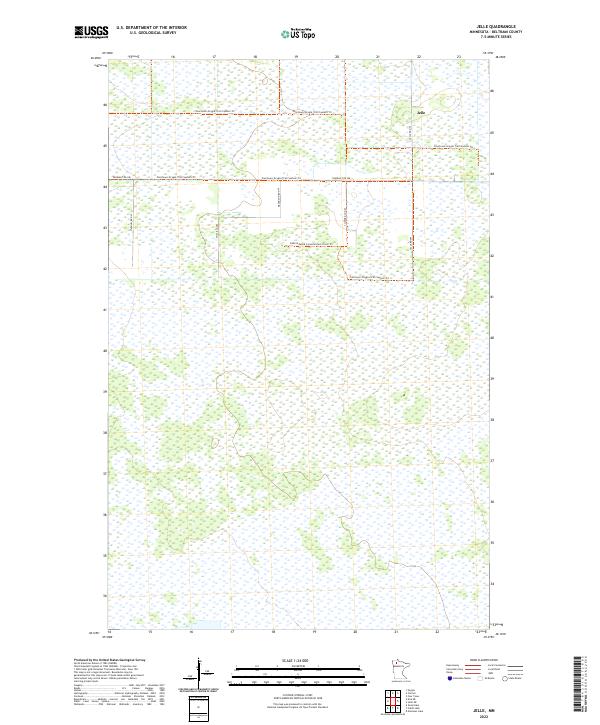
2022 Map of Jelle
USGS Topo · Published 2022About this map
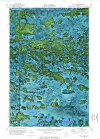
The low-lying wetlands of Beltrami County dominate this modern survey, defined by an extensive network of drainage and conservation infrastructure. The small settlement of Jelle sits at the intersection of Jelle Rd NW and the Fourtown-Grygla Trail System Trl, serving as a primary point of human activity in an otherwise saturated landscape. The map reveals the intricate management of the region's water and wildlife through the presence of the Consolidated Conservation Trails Trl, which winds through the western sections. Local navigation relies on a grid of rural roads including Thorhult Rd NW and Magnuson Rd NW, providing access to the various sections of the Public Land Survey System township boundaries. This 2022 edition provides a clear view of the modern trail systems and secondary roads that connect these remote northern Minnesota townships.
Find a feature on this map
13 named features on this map. Tap any name to fly to it.
Don’t see what you’re looking for? This feature index may not catch every label — zoom into the map to look around manually.
Map Details
Editions of this 2022 Jelle Map
This is the sole edition of this map. No revisions or reprints were ever made.
Other maps of this area

1918 · Malcolm
USGS Topo · 1:62,500

1918 · Jelle
USGS Topo · 1:62,500

1919 · Liner
USGS Topo · 1:62,500

1954 · Roseau
USGS Topo · 1:250,000

1957 · Roseau
USGS Topo · 1:250,000

1958 · Roseau
USGS Topo · 1:250,000
1972 · Good Lake
USGS Topo · 1:24,000
1973 · Grygla
USGS Topo · 1:24,000
1973 · Erie NE
USGS Topo · 1:24,000
1973 · Cahill Lake
USGS Topo · 1:24,000