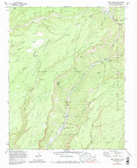
1970 Map of Jemez Springs
USGS Topo · Published 1988About this map
Santa Fe National Forest landscapes define this area of New Mexico, where the Jemez River carves through deep canyons and high mesas. The village of Jemez Springs serves as the primary hub along the canyon floor, situated near the Via Coeli Monastery and a State Monument. This region is notable for its hydrothermal activity, including the distinctive Soda Dam and numerous Hot Springs that dot the river corridor.
Find a feature on this map
53 named features on this map. Tap any name to fly to it.
Don’t see what you’re looking for? This feature index may not catch every label — zoom into the map to look around manually.
Map Details
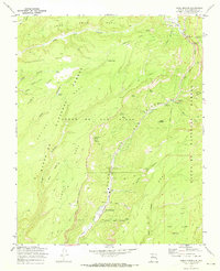
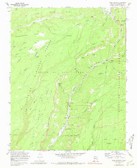
Editions of this 1970 Jemez Springs Map
Other maps of this area

1890 · Jemes
USGS Topo · 1:125,000

1892 · Jemes
USGS Topo · 1:125,000

1937 · Jemez Springs
USGS Topo · 1:48,000

1939 · La Ventana
USGS Topo · 1:62,500

1939 · San Ysidro
USGS Topo · 1:62,500

1943 · San Ysidro
USGS Topo · 1:62,500

1943 · Jemez
USGS Topo · 1:62,500

1943 · La Ventana
USGS Topo · 1:62,500

1944 · Jemez Springs
USGS Topo · 1:62,500

1952 · Jemez Springs
USGS Topo · 1:62,500