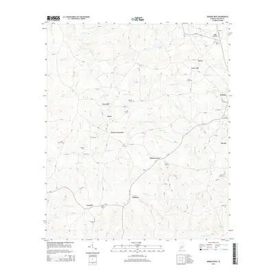
2014 Map of Jemison West
USGS Topo · Published 2014About this map
Poseys Crossroads and the surrounding rural communities of western Chilton County are documented here in detail. The landscape is defined by its deep network of family and community burial grounds, including Old Mars Cem, New Mars Hill Cem, and the Union Springs Cem north of Jones Cem. These sites, often situated near small creeks like Mahan Cr and Sixmile Cr, serve as anchors for the small settlements of Bessie, Mars Hill, and Hubbard. The terrain is deeply dissected by numerous tributaries of the Mulberry Cr, such as Gold Mine Br and Honeycutt Cr, which flow through the southern portion of the quadrangle near Campbell. Transport is facilitated by state routes like Al-191, connecting the agricultural uplands to the larger community at Jemison.
Find a feature on this map
93 named features on this map. Tap any name to fly to it.
Don’t see what you’re looking for? This feature index may not catch every label — zoom into the map to look around manually.
Map Details
Editions of this 2014 Jemison West Map
This is the sole edition of this map. No revisions or reprints were ever made.
Other maps of this area

1890 · Bessemer
USGS Topo · 1:125,000

1891 · Clanton
USGS Topo · 1:125,000

1892 · Bessemer
USGS Topo · 1:125,000

1909 · Columbiana
USGS Topo · 1:62,500

1910 · Montevallo
USGS Topo · 1:62,500

1911 · Columbiana
USGS Topo · 1:62,500

1953 · Montgomery
USGS Topo · 1:250,000

1953 · Birmingham
USGS Topo · 1:250,000

1956 · Birmingham
USGS Topo · 1:250,000

1956 · Montgomery
USGS Topo · 1:250,000