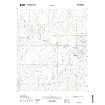
2018 Map of Jena West
USGS Topo · Published 2018About this map
Jena and its neighboring timber and mill settlements define the character of this LaSalle Parish landscape. The map details the transition from the concentrated residential streets of Good Pine and Trout to the more dispersed rural communities of Searcy, Eden, and Fellowship. This region, historically rooted in the lumber industry, shows a complex network of forest roads and creek systems, including the Bayou Funny Louis and the forks of Hemphill Creek.
Find a feature on this map
151 named features on this map. Tap any name to fly to it.
Don’t see what you’re looking for? This feature index may not catch every label — zoom into the map to look around manually.
Map Details
Editions of this 2018 Jena West Map
This is the sole edition of this map. No revisions or reprints were ever made.
Other maps of this area

1936 · Pollock
USGS Topo · 1:62,500

1941 · Jena
USGS Topo · 1:62,500

1941 · Pollock
USGS Topo · 1:62,500

1953 · Alexandria
USGS Topo · 1:250,000

1954 · Tullos
USGS Topo · 1:62,500

1955 · Alexandria
USGS Topo · 1:250,000

1955 · Olla
USGS Topo · 1:62,500

1958 · Pollock
USGS Topo · 1:62,500

1958 · Jena
USGS Topo · 1:62,500
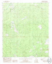
1984 · Summerville
USGS Topo · 1:24,000