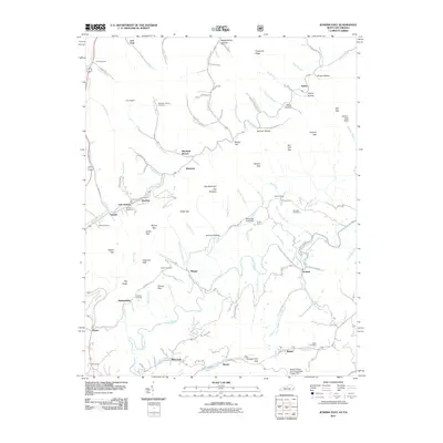
2011 Map of Jenkins East
USGS Topo · Published 2011About this map
Elkhorn Creek winds through the northern settlements of East Jenkins and Burdine, defining a landscape where small communities are bound by the narrow valley floors of the Appalachian plateau. The terrain is marked by significant elevation changes, from the heights of Pine Mountain The Doubles to the gaps that historically dictated travel, including Shelby Gap and Osborn Gap. In the southern portion of the map, the Pound River creates a meandering drainage pattern near the hamlets of Phipps and Meade. Genealogical interest is found in the numerous family-named burial grounds tucked into the hollows, such as the Pebelton Johnson Cemetery and Vanover Cemetery. The map also identifies industrial and community infrastructure like the White Oak Creek Dam and Moss Number One Fresh Water Supply Dam, which underscore the region's managed water resources for local industry and residential needs.
Find a feature on this map
99 named features on this map. Tap any name to fly to it.
Don’t see what you’re looking for? This feature index may not catch every label — zoom into the map to look around manually.
Map Details
Editions of this 2011 Jenkins East Map
This is the sole edition of this map. No revisions or reprints were ever made.
Other maps of this area

1886 · Grundy
USGS Topo · 1:125,000

1890 · Whitesburg
USGS Topo · 1:125,000

1890 · Grundy
USGS Topo · 1:125,000

1892 · Grundy
USGS Topo · 1:125,000

1892 · Whitesburg
USGS Topo · 1:125,000

1912 · Pound
USGS Topo · 1:48,000

1913 · Clintwood
USGS Topo · 1:62,500

1914 · Pound
USGS Topo · 1:62,500

1914 · Vergie
USGS Topo · 1:48,000

1915 · Clintwood
USGS Topo · 1:62,500