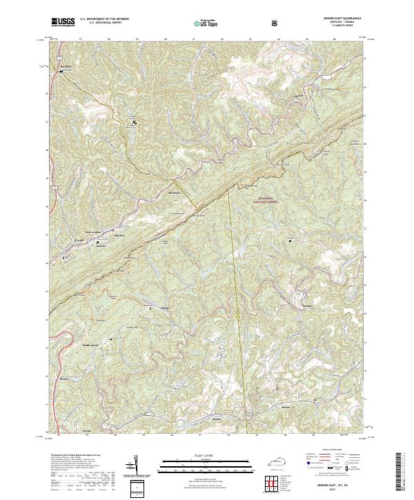
2022 Map of Jenkins East
USGS Topo · Published 2022About this map
Pine Mountain dominates the landscape of this Central Appalachian borderland, where the state lines of Kentucky and Virginia converge across steep ridges and winding hollows. The rugged terrain is etched with dozens of small watercourses such as Elkhorn Creek and the Pound River, which have historically dictated the placement of settlements like Jenkins, Burdine, and Shelby Gap. Genealogical interest is high throughout these hills, with family-named burial sites like Cook Cem, Johnson Cem, and Potter Cem scattered near old homesteads and mountain gaps. The map documents the extensive transportation network required to navigate this topography, including the Dorton Jenkins Hwy and numerous ridge-running trails like the Pine Mountain State Scenic Trl. To the south and east, the Jefferson National Forest preserves the woodland character of the slopes near Austin Gap and Stormy Gap.
Find a feature on this map
149 named features on this map. Tap any name to fly to it.
Don’t see what you’re looking for? This feature index may not catch every label — zoom into the map to look around manually.
Map Details
Editions of this 2022 Jenkins East Map
This is the sole edition of this map. No revisions or reprints were ever made.
Other maps of this area

1886 · Grundy
USGS Topo · 1:125,000

1890 · Whitesburg
USGS Topo · 1:125,000

1890 · Grundy
USGS Topo · 1:125,000

1892 · Grundy
USGS Topo · 1:125,000

1892 · Whitesburg
USGS Topo · 1:125,000

1912 · Pound
USGS Topo · 1:48,000

1913 · Clintwood
USGS Topo · 1:62,500

1914 · Pound
USGS Topo · 1:62,500

1914 · Vergie
USGS Topo · 1:48,000

1915 · Clintwood
USGS Topo · 1:62,500