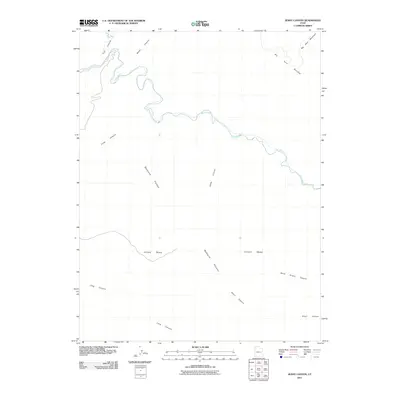
2011 Map of Jenny Canyon
USGS Topo · Published 2011About this map
The Price River carves a winding path across this portion of Emery County, defining a complex landscape of deep drainages and high plateaus. The topography is dominated by the Beckwith Plateau and Elliott Mesa, where dramatic elevation changes create a series of isolated benches and canyon systems. In the north, the terrain rises toward Big Horn Mountain and its adjacent Big Horn Benches, while several named tributaries like Water Canyon and Little Park Wash feed into the river valley. The map documents an area defined by natural barriers and the erosion-carved landforms of the region, including Jenny Canyon and the winding Long Canyon. This 2011 survey provides a clear view of the structural geology and drainage patterns that have historically shaped travel and land use in this remote section of the Utah desert.
Find a feature on this map
11 named features on this map. Tap any name to fly to it.
Don’t see what you’re looking for? This feature index may not catch every label — zoom into the map to look around manually.
Map Details
Editions of this 2011 Jenny Canyon Map
This is the sole edition of this map. No revisions or reprints were ever made.
Other maps of this area

1886 · Price River
USGS Topo · 1:250,000

1896 · Price River
USGS Topo · 1:250,000

1948 · Woodside
USGS Topo · 1:62,500

1949 · Woodside
USGS Topo · 1:62,500

1950 · Woodside
USGS Topo · 1:62,500

1954 · Range Creek
USGS Topo · 1:62,500

1956 · Price
USGS Topo · 1:250,000

1960 · Price
USGS Topo · 1:250,000

1962 · Price
USGS Topo · 1:250,000
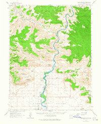
1963 · Gunnison Butte
USGS Topo · 1:62,500