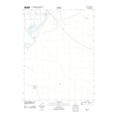
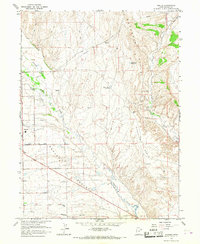
2011 Map of Jensen
USGS Topo · Published 2011About this map
Jensen occupies a strategic bend where the Green River meets a network of local draws and hollows in eastern Utah. This 2011 survey illustrates the settlement's relationship with the water, anchored by the nearby Stewart Lake and the winding course of the river. The surrounding geography is defined by distinct topographical depressions and drainages, including the prominent Bourdette Draw and the expansive Clay Basin to the south. Transportation in the area relies on routes like Redwash Rd, which skirts the river's eastern bank, and E 8500 St S. The landscape is characterized by its dramatic fork systems, specifically the Left Fork Walker Hollow and Right Fork Walker Hollow, reflecting a classic high-desert drainage pattern. To the east, the intermittent flow of Cliff Creek marks the transition into more arid terrain, while Kane Hollow provides a northern counterpoint to the deep washes found throughout the quadrangle.
Find a feature on this map
11 named features on this map. Tap any name to fly to it.
Don’t see what you’re looking for? This feature index may not catch every label — zoom into the map to look around manually.
Map Details
Editions of this 2011 Jensen Map
This is the sole edition of this map. No revisions or reprints were ever made.
Other maps of this area

1885 · Ashley
USGS Topo · 1:250,000
1907 · Jensen
USGS Topo · 1:125,000
1910 · Jensen
USGS Topo · 1:125,000

1954 · Vernal
USGS Topo · 1:250,000
1955 · Split Mountain
USGS Topo · 1:24,000
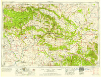
1958 · Vernal
USGS Topo · 1:250,000
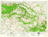
1960 · Vernal
USGS Topo · 1:250,000
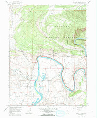
1965 · Dinosaur Quarry
USGS Topo · 1:24,000
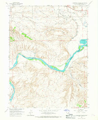
1965 · Rasmussen Hollow
USGS Topo · 1:24,000
1965 · Naples
USGS Topo · 1:24,000