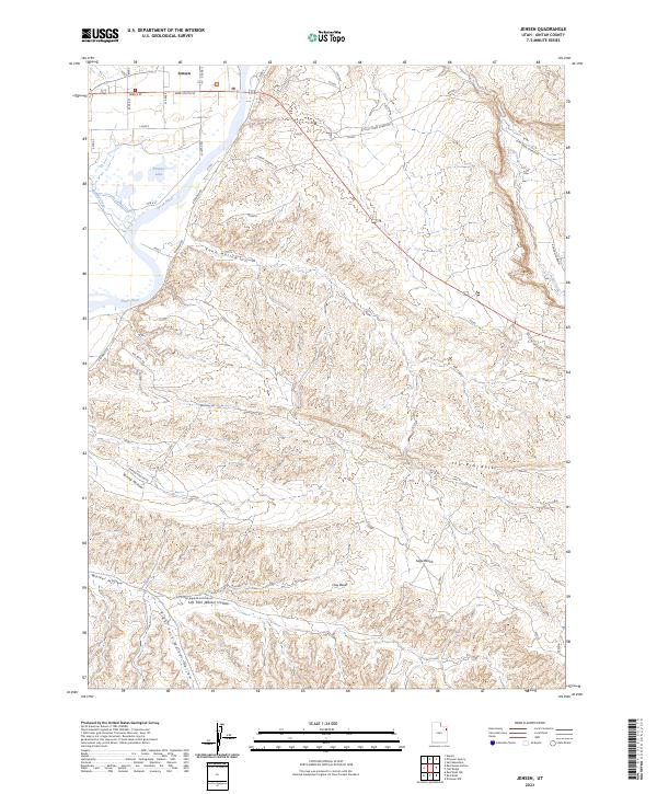
2023 Map of Jensen
USGS Topo · Published 2023About this map
Jensen serves as the focal point of this Eastern Utah landscape, situated near the winding course of the Green River as captured in this 2023 survey. The settlement's proximity to Ashley Creek and the notable waters of Stewart Lake defines the local geography, illustrating the enduring relationship between these high-desert communities and their vital water sources. This modern topographic study, based on data ranging from 1979 to 2023, provides a detailed look at the drainage patterns and land management across the Uintah County terrain, including the designated wetlands near the lake and the agricultural layout surrounding the town site.
Find a feature on this map
3 named features on this map. Tap any name to fly to it.
Don’t see what you’re looking for? This feature index may not catch every label — zoom into the map to look around manually.
Map Details
Editions of this 2023 Jensen Map
This is the sole edition of this map. No revisions or reprints were ever made.
Other maps of this area

1885 · Ashley
USGS Topo · 1:250,000

1907 · Jensen
USGS Topo · 1:125,000

1910 · Jensen
USGS Topo · 1:125,000

1954 · Vernal
USGS Topo · 1:250,000

1955 · Split Mountain
USGS Topo · 1:24,000

1958 · Vernal
USGS Topo · 1:250,000

1960 · Vernal
USGS Topo · 1:250,000
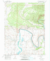
1965 · Dinosaur Quarry
USGS Topo · 1:24,000
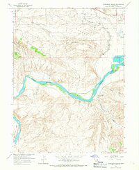
1965 · Rasmussen Hollow
USGS Topo · 1:24,000
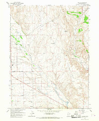
1965 · Naples
USGS Topo · 1:24,000