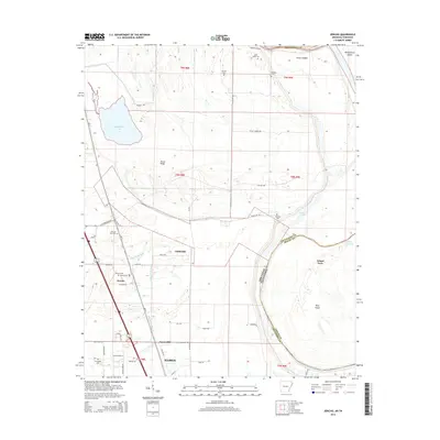
2014 Map of Jericho
USGS Topo · Published 2014About this map
Wapanocca Lake and the winding course of the Arkansas-Tennessee state line define this low-lying landscape within the Mississippi River floodplain. The area is marked by numerous small rural cemeteries, including Malone Cem, New Mt Zion Cem, and Mt Olive Cem, which serve as vital landmarks for local family histories. Small communities like Jericho, Clarkedale, and James-Mill are connected by a network of local roads such as W Clarkedale Rd and Adams Rd, reflecting a settlement pattern deeply tied to the alluvial geography. Notable features like Pecan Ridge and Island Forty indicate the shifting nature of the river over time, while the southern boundary includes the northern edge of Marion. The intricate drainage system of Wapanocca Bayou and Fifteenmile Bayou illustrates the hydraulic complexity of this delta region.
Find a feature on this map
56 named features on this map. Tap any name to fly to it.
Don’t see what you’re looking for? This feature index may not catch every label — zoom into the map to look around manually.
Map Details
Editions of this 2014 Jericho Map
This is the sole edition of this map. No revisions or reprints were ever made.
Other maps of this area

1916 · Memphis
USGS Topo · 1:62,500

1925 · Memphis
USGS Topo · 1:48,000

1927 · Memphis
USGS Topo · 1:62,500

1931 · Jericho
USGS Topo · 1:62,500

1939 · Jericho
USGS Topo · 1:62,500

1939 · Edmondson
USGS Topo · 1:62,500

1939 · Memphis
USGS Topo · 1:62,500

1940 · Deckerville
USGS Topo · 1:62,500

1952 · Jericho
USGS Topo · 1:62,500

1953 · Memphis
USGS Topo · 1:250,000